To provide you with the best experience, cookies are used on this site. Learn more

To provide you with the best experience, cookies are used on this site. Learn more

To build your own Itinerary, click  to add an item to your Itinerary basket.
Already saved an Itinerary?


Southern Snowdonia Towns | Places to Stay | See & Do

Number of results: 256
, currently showing 161 to 180.
Machynlleth
Start: Lay-by Derwenlas
Grid Reference: SN721 991
Distance: 6.2 km - 3.8 miles
Grade: Moderate
Terrain: Firm tracks, open fields, some boggy areas
Maps: OS Explorer OL23

Southern Snowdonia
There are three recommended walking routes to conquer Cader Idris. Whichever route you take they are all designated ‘hard/strenuous’ routes, and you should allow between five to six hours to get there and back
Aberdyfi
Aberdyfi has a station on the Cambrian Coast Line from Machynlleth to Pwllheli and also at Penhelig at the east end of the village.
Gwynedd
Aberdyfi is a charming coastal village in Southern Snowdonia, boasting a stunning beach with views of Cardigan Bay and opportunities for sailing and watersports. The area is also home to a nature reserve and Ramsar site.
Southern Snowdonia
The Precipice Walk is one of the famous attractions of Dolgellau. It passes through an interesting variety of habitats which include deciduous woodland, a conifer plantation, meadows, lakeside and sheep-walk.
Bala
Explore Bala & Penllyn by road using the free Trail leaflets, which you can download. Each Trail has fascinating local history information, picnic locations, walks, refreshments and toilets.
www.GoBala.org
Penrhyndeudraeth
Set against the colourful backdrop of Portmeirion, the Gwyl Portmeirion Festival 2026 promises a summer of music and celebration. Marking the village’s 100th anniversary, the event brings together renowned artists and Welsh talent for a unique…
Bala
A great day out on the Bala Steam Railway in support of Teddies for Loving Care, a charity which donates teddies to young children in local hospitals. Lots of fun and teddy themed activities for kids plus steam train rides!
Portmeirion - Aberdyfi
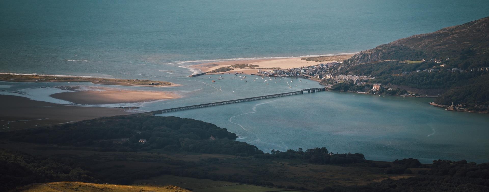
For visitors that enjoy sea views, coastal towns and villages and stunning beaches, the southern Snowdonia section of the Wales Coastal Way from Portmeirion to Machynlleth follows the Cardigan Bay coastline - a real experience not to be missed.
Aberdyfi
Aberdyfi's pastel-coloured terraces front a large sandy beach and quaint old harbour. The town is a popular centre for sailing, watersports and golf.
Machynlleth
Start: Ceinws village
Grid Reference: SH760 059
Distance: 11.3 km – 7 miles (additional 0.7km - 0.4 miles to Llanwrin)
Grade: Moderate / Strenuous
Terrain: Firm tracks, open fields
Maps: OS Explorer 215
Machynlleth
This 35 mile circular route takes you on the A487 from Machynlleth via Corris towards Dolgellau and before turning off on the B4405 to Tywyn via the picturesque Talyllyn lake at the foot of Cadair Idris. Return to Machynlleth via Aberdyfi.
Corris
Located 5 miles north of Machynlleth, Corris boasts a surprisingly rich vein of local attractions nearby together with thrilling mountain biking in the forest, excellent fishing at Llyn Myngul (Tal y Llyn Lake) and challenging walking on Cadair…
Dinas Mawddwy
North-east of Machynlleth and south-east of Dolgellau, the village of Dinas Mawddwy is just to the side of the A470 at the junction with the mountain road to Lake Vyrnwy and Bala.
Llanuwchlyn, Bala
A Day with “Alice the Little Welsh Engine” at Bala Lake Railway is a family-friendly event celebrating the beloved children’s character with steam train rides behind 'Alice'.
Dyffryn Ardudwy
Dyffryn Ardudwy railway station is on the Cambrian Coast Line from Machynlleth to Pwllheli.
Gwynedd
Neolithic tomb comprising two chambers of different phases, originally covered by a stone cairn.
Tywyn
This unique event is a must for all multi - terrain runners. Many competitors return regularly to Tywyn to try and better their performance or just beat that train while others have run nearly every year since the races started.
Tywyn
The Annual Land Rover take-over of Wharf returns!
Gwynedd
The Waun-oer Ridge Walk climbs from the village of Dinas Mawddwy over the bare mountains of Maesglase, Craig Portas, Cribin Fawr and Waun-oer and then down the slopes of Mynydd Ceiswyn to Bwlch Llyn Bach pass, Tal-y-llyn.

© Visit Mid Wales 2026. All Rights Reserved

