To provide you with the best experience, cookies are used on this site. Learn more

To provide you with the best experience, cookies are used on this site. Learn more

To build your own Itinerary, click  to add an item to your Itinerary basket.
Already saved an Itinerary?


Southern Snowdonia Towns | Places to Stay | See & Do

Number of results: 256
, currently showing 221 to 240.

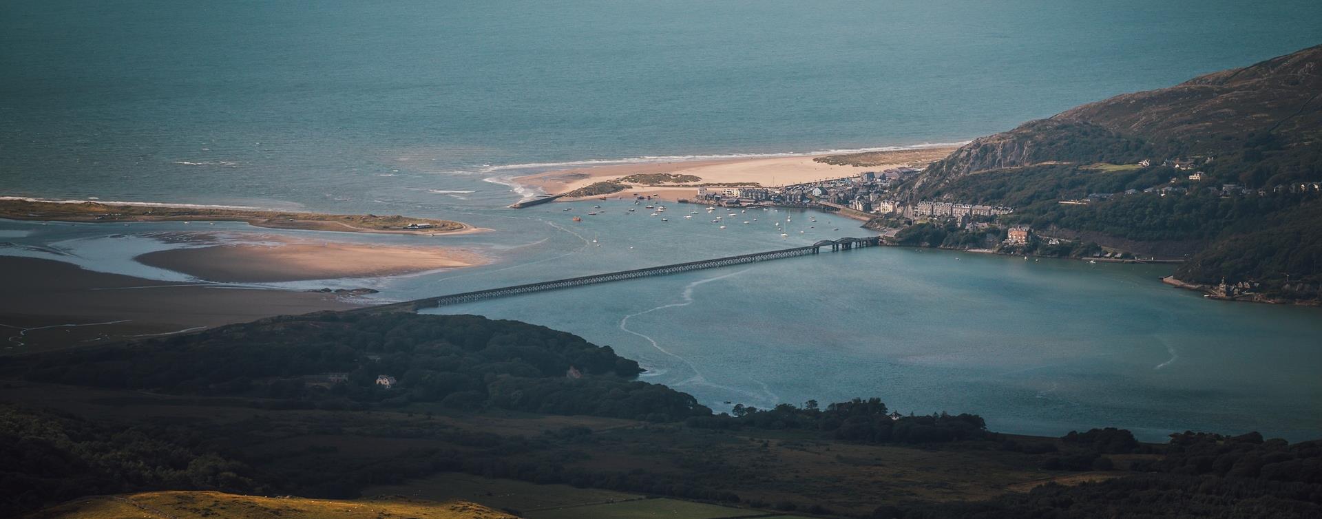
Barmouth
To the north of Barmouth near Tal-y-bont, Bennar's fine, sandy beach is backed by the occasional sand dune.

Llanbedr
Llanbedr railway station is on the Cambrian Coast Line from Machynlleth to Pwllheli.
Near Abergynolwyn
The Mary Jones Walk retraces the route the 15-year-old Mary Jones walked 25 miles from Llanfihangel-y-Pennant, across the Welsh mountains, to Bala to get a Bible from Revd. Thomas Charles.
Pontrhydfendigaid
At the heart of Pontrhydfendigaid - 'the bridge of the blessed ford' (known locally as ‘Bont’) is a narrow hump backed bridge across the river Teifi, whose source is about 5 miles away in the hills, at Teifi Pools.
Gwynedd
The Dyfi Forest is located mainly to the north of the Afon Dyfi between Dolgellau to the north and Machynlleth to the south. Dyfi is a 6000ha forest - a spectacular landscape well worth exploring.
Barmouth
The Dinas Oleu Walk takes you from Barmouth town centre through the steep narrow winding streets of the Old Town and up to the top of the gorse-covered hill, known as Dinas Oleu (Citadel of Light).
Barmouth
The Barmouth Food Festival is a vibrant celebration of local Welsh produce, artisan foods, and culinary talent set against the stunning backdrop of the Mawddach Estuary.
Tywyn
Celebrating our rich history as one of the first narrow gauge passenger railways!
Tywyn
Young Members Group Day - Celbrating our young volunteers!


Tywyn
Tywyn railway station is on the Cambrian Coast Line from Machynlleth to Pwllheli.
Llwyngwril is a coastal village with a population of around 500. The village falls within the Snowdonia National Park.
Machynlleth
Start: Lay-by Derwenlas
Grid Reference: SN721 991
Distance: 6.2 km - 3.8 miles
Grade: Moderate
Terrain: Firm tracks, open fields, some boggy areas
Maps: OS Explorer OL23
MACHYNLLETH
Start: Pennal village
Grid Reference: SH 699 004
Distance: 13.2km – 8.3 miles
Grade: Strenuous – A mountain walk, not to be undertaken in poor visibility
Maps: OS Explorer – OL 23
Fairbourne
Fairbourne railway station is on the Cambrian Coast Line from Machynlleth to Pwllheli.
Tywyn
Tywyn is a coastal town in Southern Snowdonia on the Mid Wales coast. The name Tywyn comes from the Welsh word for beach or sand dunes.
Aberdovey
Professional kite flyers from across the UK will be colouring the skies over Aberdyfi again this summer.Enjoy a colourful and spectacular display of kites and other wonderful flying creations.
Dolgellau
Sesiwn Fawr Dolgellau - Dathlu'r gorau o fyd gwerin a roc Cymreig | Celebrating the best of Welsh Folk and Rock.
Arthog
Arthog Bog is located in southern Snowdonia between Dolgellau and Fairbourne. It is a small wetland and a wonderful place to see weird and wonderful plants, flowers, butterflies and birds.
Machynlleth
The Cors Dyfi reserve in the heart of the UNESCO Dyfi Biosphere is a mixture of bog, swamp, wet woodland and scrub supporting a plethora of animals and plants, including the magnificent ospreys and the recently introduced beavers.
Gwynedd
Aberdyfi is a charming coastal village in Southern Snowdonia, boasting a stunning beach with views of Cardigan Bay and opportunities for sailing and watersports. The area is also home to a nature reserve and Ramsar site.

© Visit Mid Wales 2026. All Rights Reserved

