To provide you with the best experience, cookies are used on this site. Learn more

To provide you with the best experience, cookies are used on this site. Learn more

To build your own Itinerary, click  to add an item to your Itinerary basket.
Already saved an Itinerary?


Southern Snowdonia Towns | Places to Stay | See & Do

Number of results: 256
, currently showing 141 to 160.
Machynlleth
The Cors Dyfi reserve in the heart of the UNESCO Dyfi Biosphere is a mixture of bog, swamp, wet woodland and scrub supporting a plethora of animals and plants, including the magnificent ospreys and the recently introduced beavers.

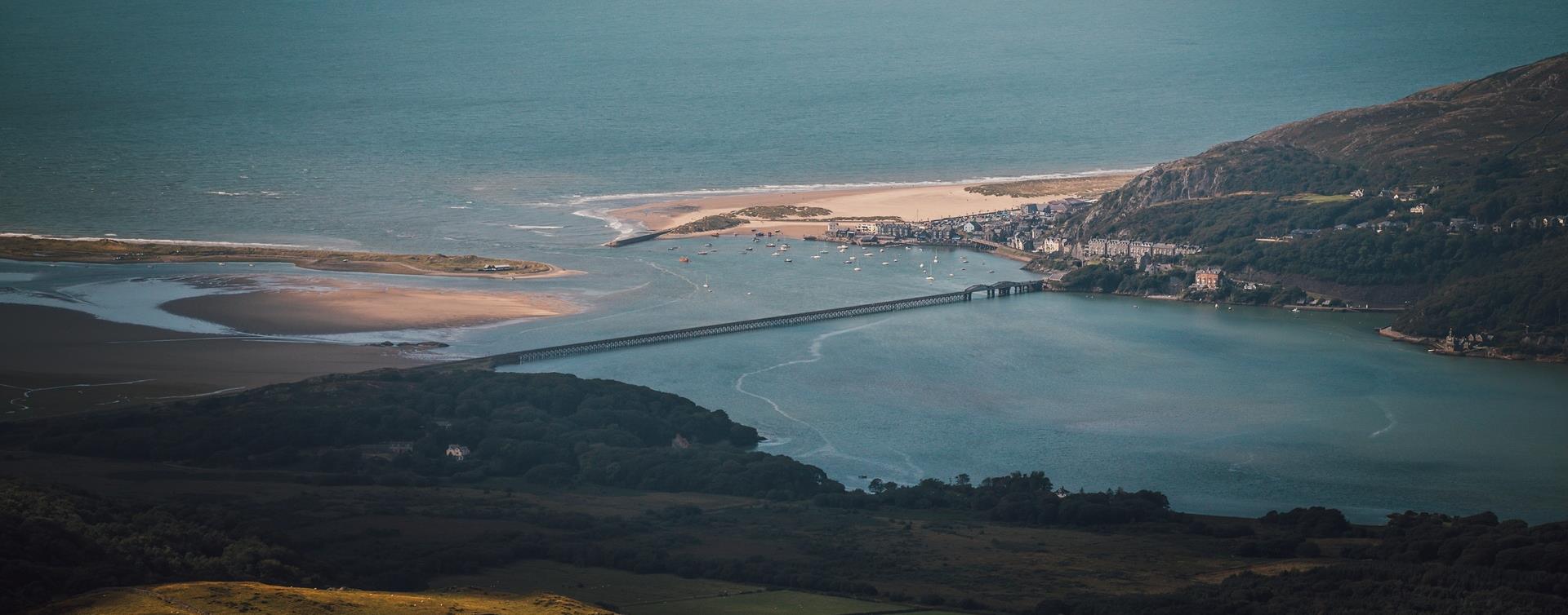
Harlech
Harlech railway station is on the Cambrian Coast Line from Machynlleth to Pwllheli.
Machynlleth
Start: Village car park, Cwrt
Grid Reference:SH 688 000
Distance: 4.8 km – 3 miles (with extension 6.6 km - 4 miles)
Grade: Moderate (extension energetic)
Terrain: Tarmac road, firm tracks, fields and woodland
Maps: OS Explorer - OL 23
Southern Snowdonia
The walk along the estuary from Barmouth to Dolgellau is 9.6 miles (15km). This easy leisure walk is suitable for all the family and involves no climbing. A section of the trail has been adapted for people with disabilities.
Tywyn
Tywyn is a coastal town in Southern Snowdonia on the Mid Wales coast. The name Tywyn comes from the Welsh word for beach or sand dunes.

Fairbourne
Between Dolgellau and Tywyn off the A493, the village of Fairbourne has a sandy beach two miles long on the Cambrian Coast with the superb countryside of the Snowdonia National Park to the east.
Tywyn
Come and join us for our Summer Beer Festival!
Barmouth
Dyffryn (Llanendwyn) is a long sandy beach backed by an extensive sand dune system between Shell Island and Dyffryn Ardudwy.
Dolgellau
Discover Dolgellau with its rich history and captivating architecture on the Dolgellau Town Trail. Begin and end your journey at Eldon Square in the heart of the town and meander through its irregular streets and admire the solid buildings.
Tywyn
Experience the beauty of a World Heritage Site in our original Victorian-Era Carriages
Tywyn
Young Members Group Day - Celbrating our young volunteers!


Gwynedd
The Dolmelynllyn estate is about 5 miles north of Dolgellau. To explore the estate, which includes the Coed Ganllwd Nature Reserve. This ancient woodland extends up the hill and valley side above the famous Rhaeadr Ddu (Black Falls).
Penrhyndeudraeth
Penrhyndeudraeth railway station is on the Cambrian Coast Line from Machynlleth to Pwllheli.
Fairbourne
A two mile stretch of sand backed by steep pebble banks and surrounded by the Snowdonia National Park.
Dolgellau
Three walking trails are waymarked and start from Coed y Brenin Visitor Centre car park.
More walking trails start from our other car parks within Coed y Brenin Forest Park.
Tywyn
Discover the Story of the Preservation Pioneers on The Railway Adventurer
Llanuwchlyn, Bala
August Steam Gala at Bala Lake Railway will feature all available steam locomotives in action with frequent passenger services, demonstration freight trains and the miniature railway running at Llanuwchllyn.
Near Abergynolwyn
The Mary Jones Walk retraces the route the 15-year-old Mary Jones walked 25 miles from Llanfihangel-y-Pennant, across the Welsh mountains, to Bala to get a Bible from Revd. Thomas Charles.
Seaview Terrace, Aberdyfi
Aberdyfi Tourist Information Centre is conveniently situated in the centre of the village on the Wharf where you can get information on local events, attractions, recreational activities and public transport.
Llanuwchlyn, Bala
Join us at Bala Model Railway Show, a popular exhibition of detailed model layouts and exhibits held over 2 days at Ysgol Godre’r Berwyn Secondary School, Bala.

© Visit Mid Wales 2026. All Rights Reserved

