Book Tickets Online
About
Listed are some of the wonderful walks in and around the Barmouth area
The Old Town
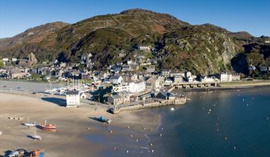
Climbing haphazardly up the steep slopes at the back of the High Street, the paths and alleys of old Barmouth reveal many quaint and delightful corners. Houses seem to be built almost on top of one another in this fascinating jumble of steps and terraces. From certain vantage points one can look out over the Estuary or down to the harbour far below, whilst from others, the High Street and buildings therein seem to lie directly underneath. No visitor should fail to explore Old Barmouth, for it is unique in Wales. Continue upwards, beyond the last houses to reach the open hillside of Dinas Olau (Fortress of Light), donated by Fanny Talbot, it was the very first piece of land owned by the National Trust. To commemorate its Centenary, the National Trust constructed a semi circular viewing point high above the town.
Where Hillpaths Abound
The hill which towers above the town has led ancient mariners to call Barmouth "Welsh Gibraltar". Viewed from the sea, it is said that the shape of the hill resembles the famous Rock. Rising 870 ft. above the town, it is intersected by footpaths that are indicated by various signs and is easily climbed. On a clear day, Bardsey Island to the North and the Preseli Hills to the south can be seen. From here you can wander on and revel in the expanse of upland country with its ancient rocks, dells and mountain streams. From here, one can meet up with the route to the Panorama View.
Panorama Walk
The Panorama Walk is one of the most popular walks in the neighbourhood and the viewpoint is only about a mile and a half from the town. It is approached up a steep road off the Barmouth to Dolgellau road, just beyond Porkington Terrace. The route is signposted and a leaflet on the walk is available from the Tourist Information Centre. The view from the summit is one of the most spectacular in Wales - the whole length of the Mawddach Estuary with the Cader range of mountains beyond to the south and Sylfaen Farm and Diphwys towards the north.
Barmouth Bridge
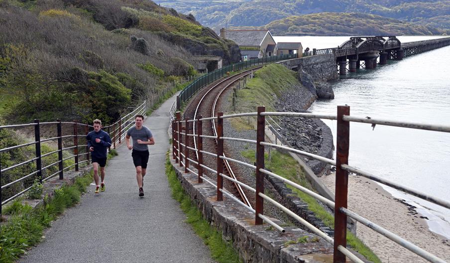
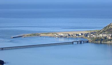
The railway viaduct spanning the Estuary of the Mawddach is half a mile in length and more than 125 years old. One side of the bridge carries the railway line between Pwllheli in the north and Machynlleth to the south whilst the other forms a promenade from which magnificent views are obtained. Wordsworth spoke of the Estuary as "sublime" and declared it might compare with the finest in Scotland. A toll is payable to access the viaduct.
Arthog
The pretty village of Arthog may be reached by crossing the bridge and is about three miles from Barmouth. From the village, it is a short walk to Arthog Falls and a more strenuous two miles climb to the beautiful Cregennan Lakes which lie in the foothills of the Cader range. This is also one of the many routes to the summit of Cader Idris.
Barmouth to Penmaenpool
This seven mile walk - all on level ground - commences across the Barmouth bridge to Morfa Mawddach station and then follows the former railway track all the way along the river bank to Penmaenpool. This walk, which ends at the RSPB Bird Observation Post (the old railway signal box) at Penmaenpool, is of particular interest to anyone wanting to see the wide variety of bird life including waders and water fowl and other wild life on the edge of the Afon Mawddach. Return to Barmouth is by bus.
Llyn Cwm Bychan
Llyn Cwm Bychan is a beautiful mountain-girt lake nestling below Rhinog Fawr (2362 ft.). It is reached by following a narrow road which leaves the main coast road in Llanbedr and winds up into the hills following the rushing Afon Atro through some outstanding scenery. Above the lake is Craig-y-Saeth, the Rock of Arrow, rising precipitously from the shore. Beyond the lake the Roman Steps, an ancient pack horse trail, makes it way through the pass across the Rhinog mountain range to Trawsfynnydd.
Torrent Walk
Torrent Walk near Dolgellau is reached by taking the Cross Foxes road out of Dolgellau and bearing left just past the Little Chef restaurant and Esso garage. Follow the narrow track to the bottom of the valley. The path then climbs upwards through beautiful woodland alongside a mountain stream which leaps from pool to pool amid a profusion of moss covered boulders on its way from the slopes of Cader Idris to the River Arran.
Ganllwyd Valley
Here, within a short distance of each other are the confluence of many streams and small rivulets that go on to form the Afon Mawddach. All around are established woodlands and forestry, whilst the steams themselves are swift, tumultuous torrents with many waterfalls and rocky gorges. The Rhaiadr Ddu Falls are the best known and are about one third of a mile off the main road. Most of the land is owned and managed by the National Trust.
Precipice Walk
Again, near Dolgellau, this walk runs at great height around the steep slopes on Moel Cynwch overlooking Ty'n Groes and the Afon Mawddach. The approach is through the lovely Nannau Estate, the path skirts Llyn Cynwch and rounding Moel Cynwch to the north, the Precipice Walk proper commences. Sheer below is the vale of the Afon Mawddach and in all directions one is transfixed by magnificent views. This walk is not recommended for those who do not have a head for heights or suffer from vertigo.
Book Tickets
Facilities
Accessibility
- Disabled toilets
Booking & Payment Details
- Cash Point
- Credit cards accepted (no fee)
Catering
- On-site catering
- On-site light refreshments
- Picnic site
Parking
- Parking with charge
Property Facilities
- Gift shop
- Postbox
- Public toilets
Site Features
- National Trust Property
Target Markets
- Accepts groups
- Coach parties accepted
Map & Directions
Road Directions
West of Dolgellau on the A496, south of Harlech on the A496.
Accessible by Public Transport: Barmouth station is 0 miles away.
Public Transport Directions
By Rail:
Barmouth station is located in the centre of Barmouth.


 to add an item to your Itinerary basket.


