Book Tickets Online
About
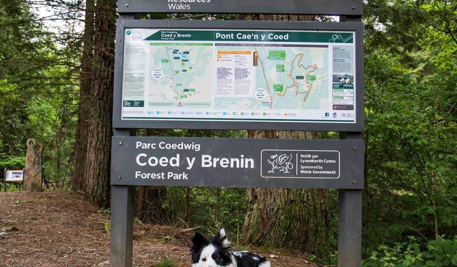
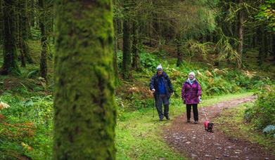
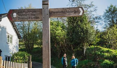
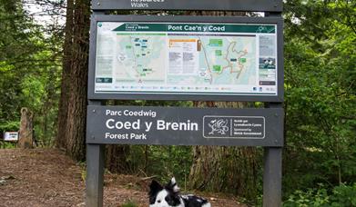
Coed y Brenin Forest Park is set in Eryri (Snowdonia) National Park and forms part of the National Forest for Wales. There are a number of access points to the many waymarked walking trails within the Forest Park. Access to the Forest Park car parks include:
Coed y Brenin Visitor Centre
This is the main the gateway to the forest park and the starting point for a range of walking, running and mountain biking trails. There is also a café and bike shop
Tyddyn Gwladys
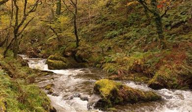
A picnic site by the rolling Mawddach river and gateway to the Waterfalls and Goldmines walk. This is a car park with picnic tables under large trees by the rolling Mawddach River. Tyddyn Gwladys is the gateway to the 'Waterfalls and Goldmines' walk and MP3 audio trail.
Forest Garden
A choice of routes through trees from all over the world in the forest garden, one of which is suitable for all abilities. A small car park under Norway spruce trees. Access to the Forest Garden Discovery Trail, where you can experience trees from all over the world, some with fascinating facts on secret signs (access to all ability trail).
Glasdir
An old copper works in a quiet rural setting with an accessible trail to a viewpoint over the mine workings. Adjacent to a picnic site with barbecue by the side of the Afon Las river, the start of the Glasdir walks. There is an additional disabled only car park with an accessible picnic table and access to the all-ability trail.
Ty'n y Groes - OS Grid Reference: SH 730 233
A riverside picnic area and gateway to an all-ability riverside walk and a rugged mountain trail with great views over Eryri. The car park and riverside picnic area at Ty'n y Groes is the starting point for three forest walks. There is a level grassy area in the car park where children can play. There are also barbecue facilities and the car park has public toilets.
The three trails at Ty'n yGroes are:
THE KING'S GUARDS TRAIL (½ mile, 850 metres)
See the magnificent Douglas firs, the biggest trees in Coed y Brenin, on this walk accessible to all. The blue waymarked accessible trail is a short loop path which leads to the ‘King’ and then returns to the car park.It is a well surfaced 2m wide route and is suitable for wheelchairs. There are resting points at least every 100m.There are no steps or stiles. King’s Guards Trail is an accessible trail along the river and past the tallest trees in Coed y Brenin Forest Park.
THE KING'S CHAMPION (¾ mile, 1.1 kilometres)
Enjoy this flat family riverside walk to the biggest trees in the forest. You walk to the 'King', the tree with the widest trunk, and the 'King's Champion', the tallest tree, and visit the commemorative stone. The route follows the accessible trail to the ‘King’ on a well surfaced 2m wide route, suitable for wheelchairs. It then goes on to the ‘Champion’ on a slightly steeper gradient and descends back to the car park on a tarmac road with a slope of 20%/1 in 5. This section is suitable for pushchairs. There are no steps or stiles along the whole trail.
PENRHOS MOUNTAIN TRAIL (3¼ miles, 5.3 kilometres)
Like the name suggests, the Penrhos mountain trail gives you a real feel of mountain walking and you will be rewarded at the top with outstanding views of Y Garn, Cader Idris and Rhobell Fawr. The trail has steep and narrow paths, often less than 50cm wide in places, on an unmade, uneven surface, where you can expect mud, rocks and tree roots. The trail also has several flights of steps. Once you reach the summit viewpoint there is a bench where you can rest and take in the magnificent views.
OS Grid Reference: SH 716 277
Pont Cae'n y Coed - This small car park is the start of the rugged Volcano Trail and near a bridge taking you across the Afon Mawddach and gorge.
Book Tickets
Facilities
Catering
- On-site light refreshments
- Picnic site
Children
- Children welcome
Meeting, Conference & Wedding Facilities
- Facilities for conferencing
- Facilities for corporate hospitality
Parking
- Parking with charge - £2 for 2 hours and 40p for every additional 20 minutes (maximum £7 per day). Pay the charge at the exit barrier by card or contactless as you drive out.
Property Facilities
- Dogs Accepted
Map & Directions
Road Directions
FOREST GARDEN From the south: Take the A470 north from Dolgellau. About 200 metres after passing the Tyn y Groes Hotel, turn right following the brown tourist signs to Ty'n y Groes. Follow the tarmac road past the Ty’n y Groes picnic site for just over one kilometre. At a crossroads just after the Glasdir car park turn left uphill. Turn right at the next cross roads and cross a small bridge (Pont Llam yr Ewig). The car park for disabled visitors is on the left and the main car park is another 150 metres up the hill on the left.
From the north: Take the A470 south towards Dolgellau. After passing through Ganllwyd village, turn left following the brown tourist signs to Ty'n y Groes. Follow the tarmac road past the Ty’n y Groes picnic site for just over one kilometre. At a crossroads just after the Glasdir car park turn left uphill. Turn right at the next cross roads and cross a small bridge (Pont Llam yr Ewig).The car park for disabled visitors is on the left and the main car park is another 150 metres up the hill on the left.
GLASDIR From the south: Take the A470 north from Dolgellau. About 200 metres after passing the Tyn y Groes Hotel, turn right following the brown tourist signs to Ty'n y Groes. Follow the tarmac road past the Ty’n y Groes picnic site for just over one kilometre. The Glasdir car park is on the right with a picnic site a short walk away across the road.
From the north: Take the A470 south towards Dolgellau. After passing through Ganllwyd village, turn left following the brown tourist signs to Ty'n y Groes. Follow the tarmac road past the Ty’n y Groes picnic site for just over one kilometre. The Glasdir car park is on the right with a picnic site a short walk away across the road.
Directions to Pont Llam yr Ewig car park Follow the directions to Glasdir car park. When you reach the Glasdir car park, continue along the tarmac road, bear sharp left up the steep hill, turn right at the crossroads at the top of the hill and the small Pont Llam yr Ewig car park is on the right over the stone bridge. Please note: Pont Llam yr Ewig is car park for the use of disabled visitors only.
PONT CAE'N Y COED Take the A470 north from Dolgellau.
After passing through the village of Ganllwyd, turn right just after the school.
Follow this minor road over a stone bridge and continue following the road on the right with the Afon Mawddach river below.
The car park is on the right after about a quarter of a mile.
TYDDYN GWLADYS From the south: Take the A470 north from Dolgellau. After passing through the village of Ganllwyd, turn right just after the school. Follow this minor road over a stone bridge and continue following the road on the right with the river Mawddach below. The Tyddyn Gwladys car park is on the right at the end of the tarmac road after about 1.5 kilometres (you will pass the Pont Cae'n y Coed car park on the way).
From the north: Take the A470 south from Coed y Brenin Forest Park Visitor Centre. On reaching the village of Ganllwyd turn sharp left immediately after the 40mph speed limit sign. Follow this minor road over a stone bridge and continue following the road on the right with the river Mawddach below. The Tyddyn Gwladys car park is on the right at the end of the tarmac road after about 1.5 kilometres (you will pass the Pont Cae'n y Coed car park on the way).
TYN Y GROES From the south: Take the A470 north from Dolgellau. About 200 metres after passing the Tyn y Groes Hotel, turn right following the brown tourist signs to Ty'n y Groes. The car park is 300 metres down the hill by the side of the river Mawddach.
From the north: Take the A470 south towards Dolgellau. After passing through Ganllwyd village, turn left following the brown tourist signs to Ty'n y Groes. The car park is 300 metres down the hill by the side of the river Mawddach.
Public Transport Directions
The nearest mainline railway stations are Barmouth (Cambrian Coast line) and Blaenau Ffestiniog (Blaenau Ffestiniog-Llandudno line). Bus services from Dolgellau and Blaenau Ffestiniog will stop by request at the entrance road to the visitor centre on the A470.


 to add an item to your Itinerary basket.

