To provide you with the best experience, cookies are used on this site. Learn more

To provide you with the best experience, cookies are used on this site. Learn more

To build your own Itinerary, click  to add an item to your Itinerary basket.
Already saved an Itinerary?


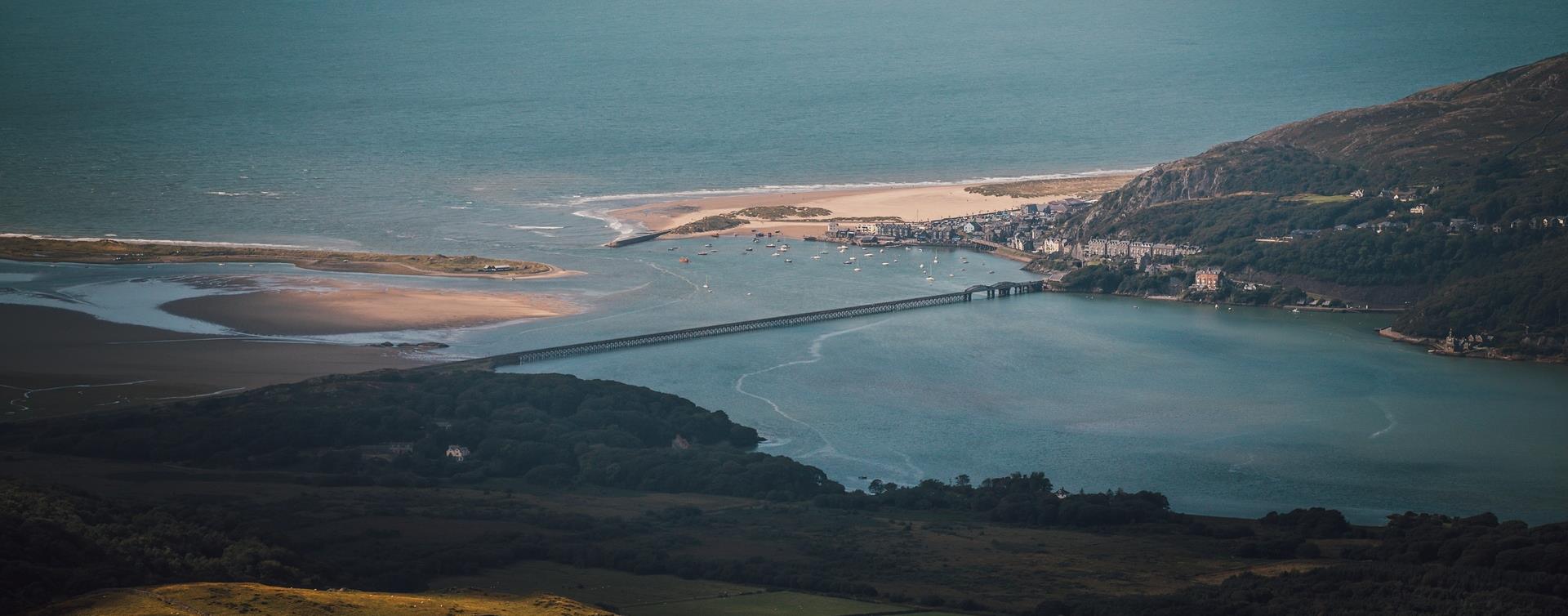
Southern Snowdonia Towns | Places to Stay | See & Do

Number of results: 257
, currently showing 161 to 180.
Machynlleth
Machynlleth railway station is on the Cambrian Line from Shrewsbury to Aberystwyth. Trains also depart from here for the Cambrian Coast Line to Pwllheli.

Tywyn
Celebrating our rich history as one of the first narrow gauge passenger railways!
Machynlleth
This 35 mile circular route takes you on the A487 from Machynlleth via Corris towards Dolgellau and before turning off on the B4405 to Tywyn via the picturesque Talyllyn lake at the foot of Cadair Idris. Return to Machynlleth via Aberdyfi.
Llanuwchlyn, Bala
A Day with “Alice the Little Welsh Engine” at Bala Lake Railway is a family-friendly event celebrating the beloved children’s character with steam train rides behind 'Alice'.
Gwynedd
The Dyfi Forest is located mainly to the north of the Afon Dyfi between Dolgellau to the north and Machynlleth to the south. Dyfi is a 6000ha forest - a spectacular landscape well worth exploring.
Southern Snowdonia
There are three recommended walking routes to conquer Cader Idris. Whichever route you take they are all designated ‘hard/strenuous’ routes, and you should allow between five to six hours to get there and back
Fairbourne
A two mile stretch of sand backed by steep pebble banks and surrounded by the Snowdonia National Park.
Dolgellau
Coed y Brenin Forest Park is set in Eryri (Snowdonia) National Park near Dolgellau and forms part of the National Forest for Wales. There are many walking trails from various car parks within the Coed y Brenin forest park where you can see…
Tywyn
Come and join us for our Annual Beer Festival & explore the Garden Railway!
Dolgellau
Three walking trails are waymarked and start from Coed y Brenin Visitor Centre car park.
More walking trails start from our other car parks within Coed y Brenin Forest Park.

Harlech
Llandanwg beach is just south of Harlech; the village is famous for its church which stands just a stone's throw from the sea.
Llanbedr
Llanbedr is an attractive village situated between Barmouth and Harlech. It's an ideal location for walking and Shell Island is famous for it's abundance of sea shells.
Nr Corris
Abercorris Nature Reserve in southern Snowdonia is a three acre site of remnant broadleaved woodland on the steep east bank of Afon Deri combining the woodland habitat with that of the mountain stream below.
Gwynedd
This 120 acre reserve is a fine example of Ancient Woodland, with a rich flora of mosses, liverworts and ferns. The Coed Crafnant Reserve is comprised of two distinct woodlands; Coed Crafnant and Coed Dolbebin.
Bala
A circular walk first through the town, over farmland and moorland to Llanycil returning along the lake and through the town with many stiles. The walk passes various locations associated with Betsi Cadwaladr.
Powys
The Rotary Clubs of Llanidloes, Machynlleth and Newtown join together to organise this very popular Mid Wales walk for people to enjoy and also to facilitate the raising of charitable funds.
Llanuwchlyn, Bala
August Steam Gala at Bala Lake Railway will feature all available steam locomotives in action with frequent passenger services, demonstration freight trains and the miniature railway running at Llanuwchllyn.
Porthmadog
Minffordd railway station is on the Cambrian Coast Line from Machynlleth to Pwllheli.
Llanbedr
Llanbedr railway station is on the Cambrian Coast Line from Machynlleth to Pwllheli.
Tywyn
Experience the beauty of a World Heritage Site in our original Victorian-Era Carriages

© Visit Mid Wales 2026. All Rights Reserved

