To provide you with the best experience, cookies are used on this site. Learn more

To provide you with the best experience, cookies are used on this site. Learn more

To build your own Itinerary, click  to add an item to your Itinerary basket.
Already saved an Itinerary?


Southern Snowdonia Towns | Places to Stay | See & Do

Number of results: 257
, currently showing 201 to 220.
Fairbourne
Fairbourne railway station is on the Cambrian Coast Line from Machynlleth to Pwllheli.

Dolgellau
Dolgellau is the ideal base to explore southern Snowdonia's dramatic scenery, adrenalin-fuelled activities and world heritage attractions. It's a historic mountain town built on the wool trade and steeped in folklore.
Gwynedd
This 120 acre reserve is a fine example of Ancient Woodland, with a rich flora of mosses, liverworts and ferns. The Coed Crafnant Reserve is comprised of two distinct woodlands; Coed Crafnant and Coed Dolbebin.
Gwynedd
The Dolmelynllyn estate is about 5 miles north of Dolgellau. To explore the estate, which includes the Coed Ganllwd Nature Reserve. This ancient woodland extends up the hill and valley side above the famous Rhaeadr Ddu (Black Falls).

Powys
Start: NRW forest car park. Turn R just before Aberllefenni village sign
Grid Reference: SH 769 092
Distance: 7.4 km – 4.6 miles
Grade: Moderate
Terrain: Tarmac road and grassy tracks.
Maps: OS Explorer – OL 23
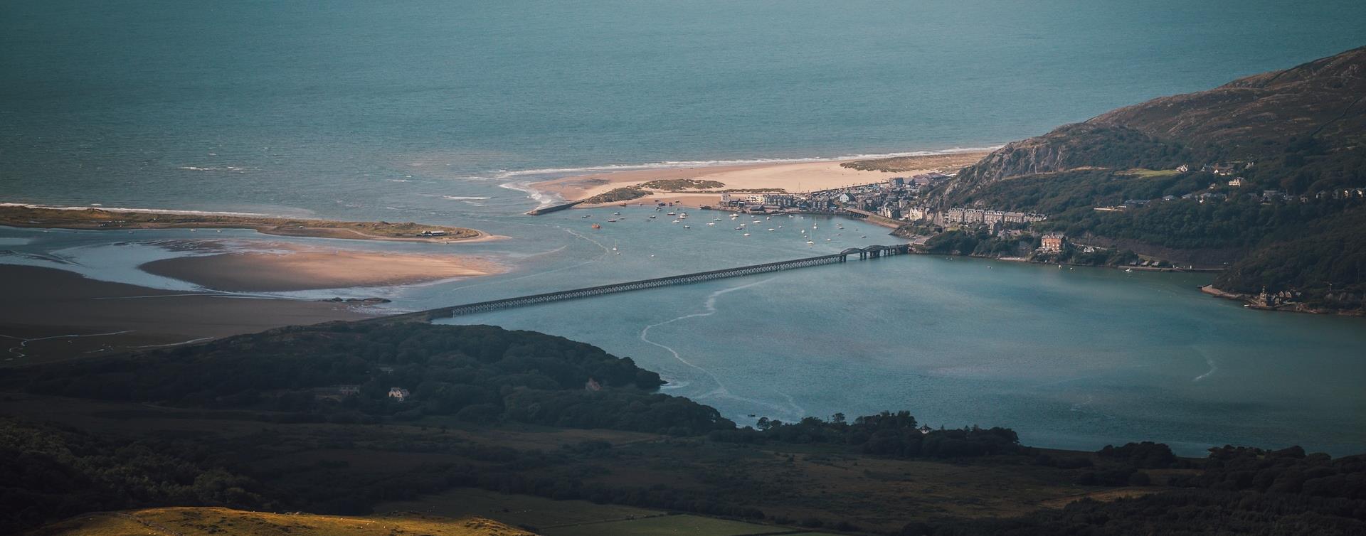
Barmouth
The Dinas Oleu Walk takes you from Barmouth town centre through the steep narrow winding streets of the Old Town and up to the top of the gorse-covered hill, known as Dinas Oleu (Citadel of Light).
Gwynedd
Llwyngwril is a shingle and boulder beach with sand and rock pools at low tide on a very picturesque stretch of the coast.
Tywyn
Located at the foot of Cadair Idris, Tal-y-llyn Lake (Also known as Llyn Mwyngil) is north of Machynlleth and north-east of Tywyn.
Machynlleth
The Dyfi Valley opens wide as it approaches Cardigan Bay Coast and ends in sandy beaches and dunes. It cradles the westerly spur of Powys, Ceredigion north of Aberystwyth, and the southern rim of Snowdonia National Park.
Tywyn
The west facing beach at Tywyn in southern Snowdonia is a long stretch of sand and pebbles backed by sand dunes.
Machynlleth Town Centre
This section of route 82 heads South towards Aberystwyth but the route is still under construction. Beyond Aberystwyth the route heads along the old railway line towards Tregaron and Lampeter. The route finishes in Fishguard.
Barmouth
Barmouth/Abermaw railway station is on the Cambrian Coast Line from Machynlleth to Pwllheli.The railway station is in the town centre.
Bala
Bala & Penllyn is an area within the Eryri (Snowdonia) National Park surrounded by the peaks of Aran Benllyn, Arenig Fawr and the Berwyn Mountains and home to the largest natural lake in Wales,
Southern Snowdonia
Cadair Idris is a spectacular mountain reserve in southern Snowdonia with a variety of landscapes and terrain that cover over 450 hectares of breathtaking landscape.
Gwynedd
The Waun-oer Ridge Walk climbs from the village of Dinas Mawddwy over the bare mountains of Maesglase, Craig Portas, Cribin Fawr and Waun-oer and then down the slopes of Mynydd Ceiswyn to Bwlch Llyn Bach pass, Tal-y-llyn.
Machynlleth
Wales’ oldest professional chamber orchestra, The Welsh Chamber Orchestra, presenting a programme of music for strings and percussion, including Elgar’s Serenade for Strings, Mozart’s Serenata Notturna and Samuel Coleridge Taylor’s Four Noveletten.
Tywyn
Come and join us for our Annual Beer Festival & explore the Garden Railway!
Gwynedd
Neolithic tomb comprising two chambers of different phases, originally covered by a stone cairn.
Harlech
Harlech railway station is on the Cambrian Coast Line from Machynlleth to Pwllheli.
Aberdyfi | Aberdovey
This gentle four mile walk soon gets you up above Aberdyfi, enjoying fine views over the mouth of the Dyfi estuary and south towards Borth and Aberystwyth.
Starting place: Tourist Information Centre
Starting ref: SN 614959

© Visit Mid Wales 2026. All Rights Reserved

