To provide you with the best experience, cookies are used on this site. Learn more

To provide you with the best experience, cookies are used on this site. Learn more




To build your own Itinerary, click  to add an item to your Itinerary basket.
Already saved an Itinerary?



Number of results: 83
, currently showing 64 to 83.
Ystrad Meurig - Tregaron
The Ystwyth Trail is a 32.1km/20M cycle route and footpath linking Aberystwyth and Tregaron. Part of the trail follows the track of the old Great Western railway line.
Start: Aberystwyth SN584812
Finish: Tregaron SN679597

Llandysul
The Teifi Valley Railway was created from a branch line of the Great Western Railway which served the West Wales rural area.
Pontrhydfendigaid
Llyn Teifi is the largest of a group of six pools and reservoirs in Mid Wales in the western edge of the Cambrian Mountains. The area is a Dark Skies Discovery site and the nearest village is Pontrhydfendigaid which is close to the site of Strata…
Pontrhydfendigaid
Coed y Bont is a community woodland situated on the edge of the village of Pontrhydfendigaid in the foothills of the Cambrian Mountains. The woodland is recognised as a Dark Sky Discovery Site.
Tregaron
Tregaron is one the oldest market towns in Wales, having received a royal charter in 1292. The Tregaron Heritage Centre is situated in the old Victorian church school, and includes a reconstructed Victorian era classroom, tea room and information…
Tregaron
Tregaron is a town where history, legend, and nature intertwine—offering visitors a truly authentic Welsh experience. Whether you’re drawn by the wildlife, the scenic routes, or the rich folklore, this is a place where the past comes to life amid…

Nestling on the banks of the river Teifi, Llandysul is a traditional unspoilt small market town.
Devils Bridge
Discover the awe-inspiring beauty of Pumlumon, aptly named "five peaks," as it stands as the highest point of the Mynyddoedd Cambria, the magnificent Cambrian Mountains in Mid Wales. This is a wild landscape on the eastern edge of Ceredigion.
Nr Devil's Bridge
The old masonry arch spanning the road was built by Thomas Johnes of Hafod in 1810 to mark the Golden Jubilee of George III. Three circular walking trails are waymarked and start from the Hafod Arch car park and The Arch is designated as a Dark…
Ceredigion
Part of Llandysul Trails - Llandysul Town Historic Walk
Start/Finish: SN418406 - Car Park, Llandysul
Suitable for: All walkers
Grade: Easy
Distance: 1.1km/1.8M
Time: 1 hour (excluding rest stops)
Carmarthenshire
The famous Brechfa Forest is managed by Natural Resources Wales for the benefit of people, wildlife, recreation and timber production.
Llandovery
Llyn Brianne is a spectacular reservoir at almost 300m (990ft) above sea level. It holds over 64million cubic metres of water contained by a 91m (300ft) stone-built dam and is the largest of its kind in Europe.
Ceredigion
The Hafod Estate | Hafod Uchtryd, 12 miles south-east of Aberystwyth, is recognised as one of the finest examples in Europe of a picturesque landscape.
Ceredigion
Cors Caron is a vast wetland near Tregaron. The huge raised peat bogs and surrounding habitats support a wealth of wildlife. Accessible boardwalk over bog to hide, and Sustrans National Cycle route for walkers, cyclists and horse riders.
near Llandovery
Talley Woodlands overlook an historic village and ruined abbey in Carmarthenshire, 12 miles from Llandovery. Picnic area and waymarked walking trails with steep climbs and far-reaching views over the abbey and surrounding hills
Ceredigion
Part of Llandysul Trails -Coed y Foel Woodland & Countryside Walk
Start: SN418406 - Car Park, Llandysul
Suitable for: Moderately fit walkers
Grade: Moderate
Distance: 9km/5.6M
Time: 3 hours (excluding rest stops)
Ceredigion
Part of Llandysul Trails - Llandysul / Pont-Tyweli South Walk
Start: SN418406 - Car Park, Llandysul
Suitable for: Moderately fit walkers
Grade: Moderate
Distance: 9km/5.6M
Time: 2.5hrs (excluding rest stops)
Llanfair Clydogau, Lampeter
Coedwig Gymunedol Longwood Community Woodland is a 300 acre site of mixed woodland just north of Lampeter in Ceredigion. The woods are owned and managed by the local community and is as a free facility for walkers, riders and cyclists to enjoy all…
Ponthrydfendigaid
Night photography with an expert


Devil's Bridge
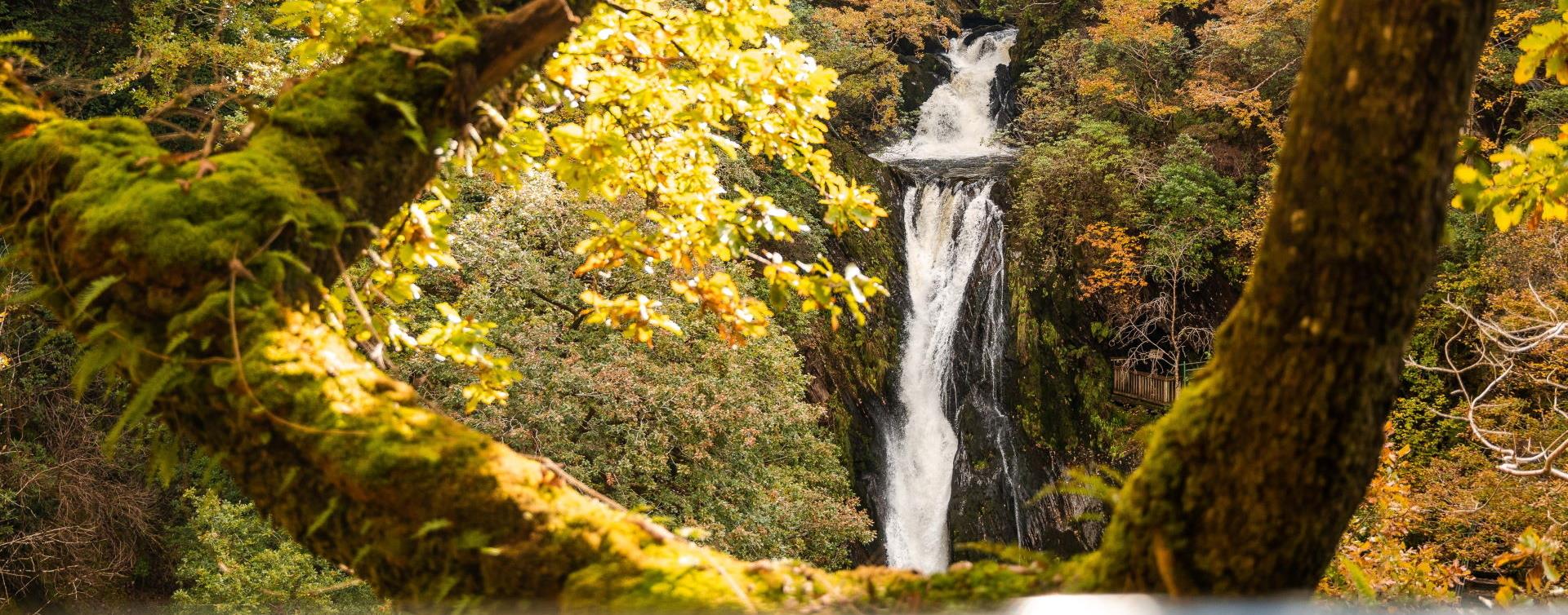
The village of Devil's Bridge is situated at the head of the Rheidol Valley in the heart of the Cambrian Mountains. Famous for its bridges and waterfall, Devil's Bridge and can be reached via the Vale of Rheidol Steam Railway.

© Visit Mid Wales 2026. All Rights Reserved

