To provide you with the best experience, cookies are used on this site. Learn more

To provide you with the best experience, cookies are used on this site. Learn more




To build your own Itinerary, click  to add an item to your Itinerary basket.
Already saved an Itinerary?


#6D7F8A
More winter ideas

Number of results: 117
, currently showing 85 to 105.

Powys
The Table Mountain is clearly visible from most places in Crickhowell. It is just to the north of the village on the eastern shoulder of the much larger Pen Cerrig-calch which dominates the northern views. Grid Ref: SO218185

Ystrad Meurig - Tregaron
The Ystwyth Trail is a 32.1km/20M cycle route and footpath linking Aberystwyth and Tregaron. Part of the trail follows the track of the old Great Western railway line.
Start: Aberystwyth SN584812
Finish: Tregaron SN679597
Gwynedd
The Dyfi Forest is located mainly to the north of the Afon Dyfi between Dolgellau to the north and Machynlleth to the south. Dyfi is a 6000ha forest - a spectacular landscape well worth exploring.
Talybont
Start: Tal-y-bont village green
Grid Reference: SN654 891
Distance: Walk A: 10.5 km – 6.5 miles
Walk B: 9.8 km – 6.1 miles
Grade: Moderate
Terrain: Tarmac road, firm tracks, fields and woodland. Can be muddy in places
Brecon
The Beacons Way walk offers some of the best views the National Park has to offer. If you want to complete the whole 163 km (101 mile) walk it takes eight days, or you can do it one day at a time at your convenience.
Newtown
The Brimmon Wood & Kerry walk starts and ends in the centre of Newtown. It is mainly off-road walking with a few short sections on quiet lanes.
Southern Snowdonia
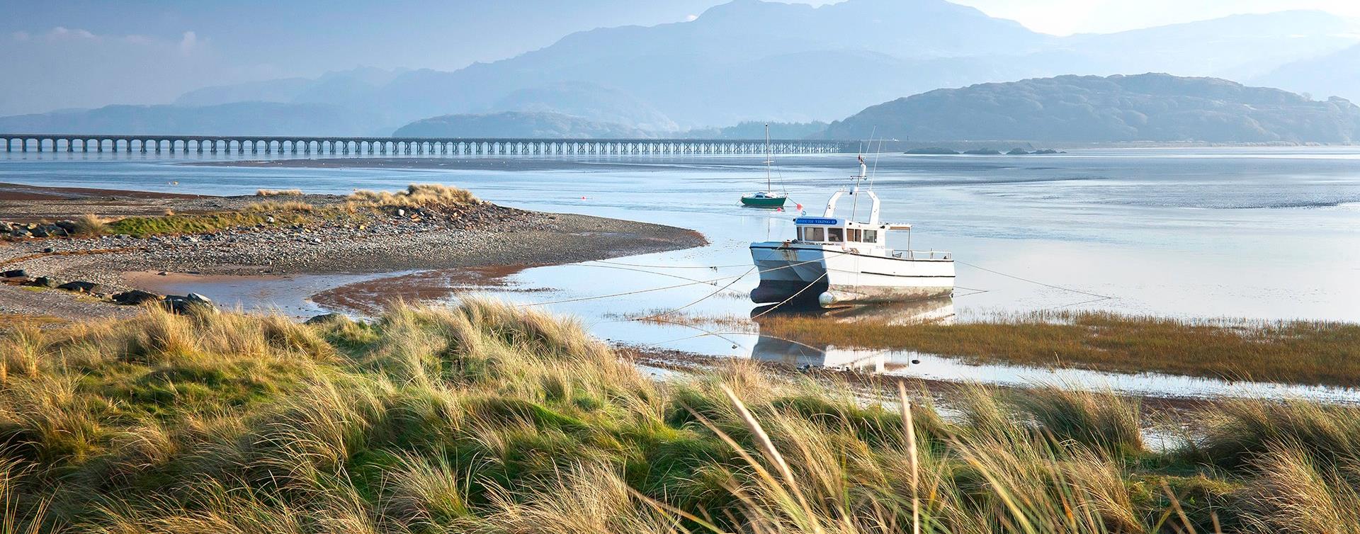
The walk along the estuary from Barmouth to Dolgellau is 9.6 miles (15km). This easy leisure walk is suitable for all the family and involves no climbing. A section of the trail has been adapted for people with disabilities.
Walk the Severn Way, a long distance footpath tracing the route of Britain's longest river, from its sources to the sea.
Ceredigion
Part of Llandysul Trails - Coed y Foel Woods to Capel Dewi
Start: SN418406 - Car Park, Llandysul
Suitable for: Moderately fit walkers
Grade: Moderate-Strenuous
Distance: 13.1km/8M
Time: 4.5 hours (excluding rest stops)
Bala
The Bala & Penllyn area has a wide range of Walking Trails for everyone – including: all ability, children, heritage, scenic and mountain walks - and all through stunning mountain and lake scenery of southern Snowdonia.
A 132 mile National Trail set in the heart of Mid Wales breathtaking countryside, dedicated to the 15th Century Welsh Prince Owain Glyndwr
Ceredigion
Part of Llandysul Trails - Llandysul / Pont-Tyweli South Walk
Start: SN418406 - Car Park, Llandysul
Suitable for: Moderately fit walkers
Grade: Moderate
Distance: 9km/5.6M
Time: 2.5hrs (excluding rest stops)
Southern Snowdonia
The Precipice Walk is one of the famous attractions of Dolgellau. It passes through an interesting variety of habitats which include deciduous woodland, a conifer plantation, meadows, lakeside and sheep-walk.
Carmarthenshire
The Cambrian Way is a challenging long distance walk through the most unspoilt countryside in Wales. Walkers will be amazed at the remoteness of the central section route through Mid Wales from the Brecon Beacons to Southern Snowdonia.
Ponterwyd, Aberystwyth
Bwlch Nant yr Arian Visitor Centre sits at the head of a dramatic valley and has commanding views of Cardigan Bay and the Cambrian Mountains. Expect beautiful scenic walking trails all of which are waymarked and start from the visitor centre.
Ponterwyd, Aberystwyth
Bwlch Nant yr Arian is famous for feeding red kites daily. Range of waymarked walking, mountain biking, running and horse-riding trails and a mountain bike skills park. Café, shop and play area.
Trefaldwyn | Montgomery
This scenic circular walk takes you through the farming fields of Montgomery east, from the remnants of ridge and furrow farming from the middle ages to Boardyhall Wood past Lymore Lodge and current farm buildings.
Llanfair Clydogau, Lampeter
Coedwig Gymunedol Longwood Community Woodland is a 300 acre site of mixed woodland just north of Lampeter in Ceredigion. The woods are owned and managed by the local community and is as a free facility for walkers, riders and cyclists to enjoy all…
Aberdyfi | Aberdovey
Circular walk starting from the popular coastal town of Aberdyfi. Stunning sandy beach, medieval castle site, tales of sunken villages, and far-reaching views of the Dyfi estuary and Cambrian coast are all part of this short but scenic walk.
Machynlleth
Start: Ceinws village
Grid Reference: SH760 059
Distance: 11.3 km – 7 miles (additional 0.7km - 0.4 miles to Llanwrin)
Grade: Moderate / Strenuous
Terrain: Firm tracks, open fields
Maps: OS Explorer 215
Machynlleth
Start: Village car park, Cwrt
Grid Reference:SH 688 000
Distance: 4.8 km – 3 miles (with extension 6.6 km - 4 miles)
Grade: Moderate (extension energetic)
Terrain: Tarmac road, firm tracks, fields and woodland
Maps: OS Explorer - OL 23

© Visit Mid Wales 2026. All Rights Reserved

