To provide you with the best experience, cookies are used on this site. Learn more

To provide you with the best experience, cookies are used on this site. Learn more

To build your own Itinerary, click  to add an item to your Itinerary basket.
Already saved an Itinerary?


Number of results: 116
, currently showing 101 to 116.
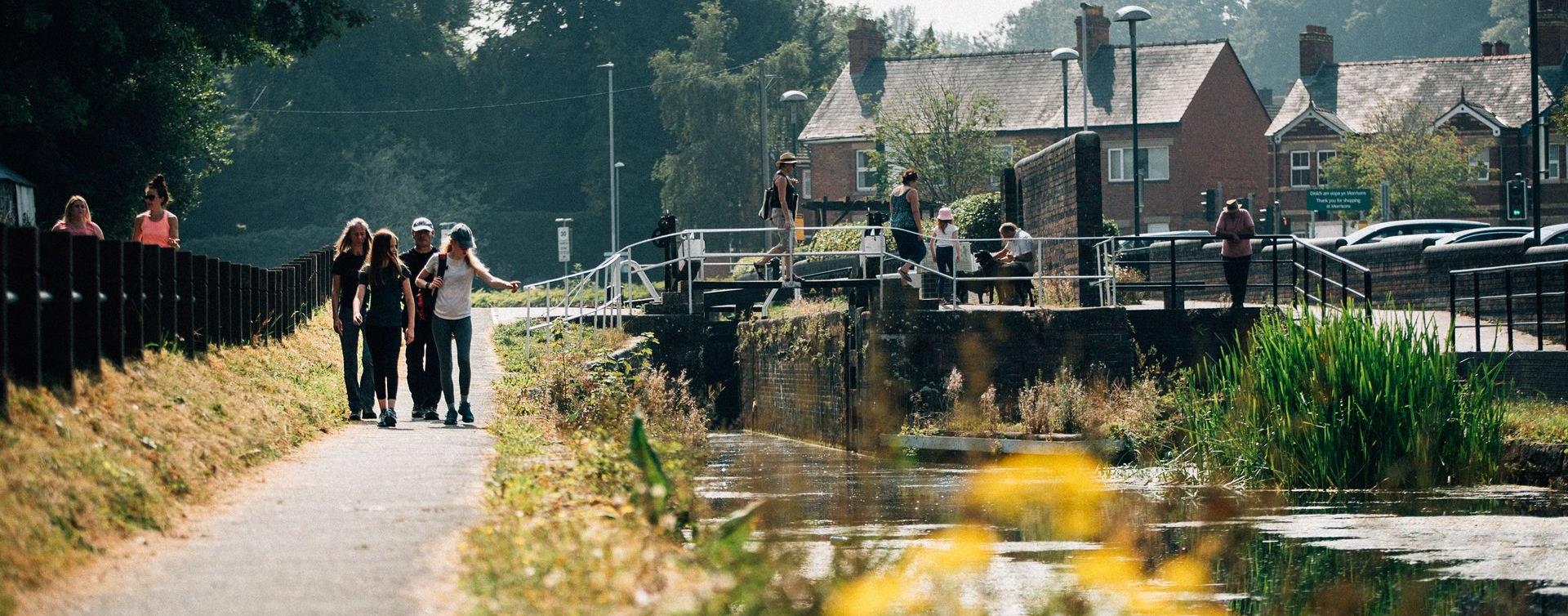
Newtown
The starting point for this walk is the Newtown Town Clock in the town centre and unfolds through Newtown's historical tapestry. It is approximately 3.5 miles and should take around 3.5 hours

Crossing the border between England and Wales more than ten times in its 293km (182m), the Offa's Dyke Path passes through some of the most attractive landscape.
Machynlleth
This walk starts at the car park at Y Plas, Machynlleth and is graded as moderate. The terrain includes road, woodland paths, firm tracks and fields and is a distance of 5 miles.
Ceredigion
Cors Caron is a vast wetland near Tregaron. The huge raised peat bogs and surrounding habitats support a wealth of wildlife. Accessible boardwalk over bog to hide, and Sustrans National Cycle route for walkers, cyclists and horse riders.
Abergavenny
Grwyne Fawr Reservoir is a 2.5-mile uphill walk from the Mynydd Du car park. Look carefully and you might see wild ponies grazing among the gorse and take in views of the valley and the mighty conifers of the Mynydd Du forest in this remote area of…

Carmarthenshire
The Cambrian Way is a challenging long distance walk through the most unspoilt countryside in Wales. Walkers will be amazed at the remoteness of the central section route through Mid Wales from the Brecon Beacons to Southern Snowdonia.
Pantperthog, Machynlleth
Start: Centre for Alternative Technology
(C.A.T) car park
Grid Reference: SH 754 044
Distance: 7.1 km – 4.4 miles
Grade: Moderate (some steep sections)
Terrain: Firm tracks, roads and open grassland
Maps: OS Explorer OL23 or 215
Ceredigion
Part of Llandysul Trails -Coed y Foel Woodland & Countryside Walk
Start: SN418406 - Car Park, Llandysul
Suitable for: Moderately fit walkers
Grade: Moderate
Distance: 9km/5.6M
Time: 3 hours (excluding rest stops)
Lon Cambria is a 113-mile cycle route in the National Cycle Network which runs from Aberystwyth on the west coast of Wales, through the Cambrian Mountains and the Mid Wales Marches to Shrewsbury.
Aberdyfi | Aberdovey
Circular walk starting from the popular coastal town of Aberdyfi. Stunning sandy beach, medieval castle site, tales of sunken villages, and far-reaching views of the Dyfi estuary and Cambrian coast are all part of this short but scenic walk.
Llanfair Clydogau, Lampeter
Coedwig Gymunedol Longwood Community Woodland is a 300 acre site of mixed woodland just north of Lampeter in Ceredigion. The woods are owned and managed by the local community and is as a free facility for walkers, riders and cyclists to enjoy all…
Barmouth
The Dinas Oleu Walk takes you from Barmouth town centre through the steep narrow winding streets of the Old Town and up to the top of the gorse-covered hill, known as Dinas Oleu (Citadel of Light).
Ceredigion
Part of Llandysul Trails - Llandysul / Pont-Tyweli South Walk
Start: SN418406 - Car Park, Llandysul
Suitable for: Moderately fit walkers
Grade: Moderate
Distance: 9km/5.6M
Time: 2.5hrs (excluding rest stops)
Ceredigion
Part of 'Spirit of the Miners' Walks
Open fields, steep woodland trails, 3 river crossings
Start/Finish: SN738767 - Devils Bridge
Suitable for: Moderately fit walkers
Grade: Moderate
Distance: 110K/6M
Time: 3hrs
Knighton - Felindre - Abbeycwmhir - Llanidloes
The 135 m/217km National Trail is a long distance walk which can be enjoyed as a continuous journey, typically taking around nine days, or over a series of weekend or day trips.
Aberystwyth
Follow some of the original miners' paths around this attractive woodland and discover the Castle Grogwynion Iron Age Hillfort, the Grogwynion Falls, an amazing variety of trees, and a dam dating from the 19th Century.

© Visit Mid Wales 2026. All Rights Reserved

