To provide you with the best experience, cookies are used on this site. Learn more

To provide you with the best experience, cookies are used on this site. Learn more

To build your own Itinerary, click  to add an item to your Itinerary basket.
Already saved an Itinerary?


Number of results: 116
, currently showing 61 to 80.
Borth
Start: Borth High Street
Grid Reference: SN 608 901
Distance: Walk A: 4.4 km – 2.7 miles
Walk B: 10.7 km – 6.6 miles
Grade: Easy
Terrain: Roads, firm tracks, sand and shingle
Maps: OS Explorer – OL 23 & 213


Trefaldwyn | Montgomery
This scenic circular walk takes you through the farming fields of Montgomery east, from the remnants of ridge and furrow farming from the middle ages to Boardyhall Wood past Lymore Lodge and current farm buildings.
Llangrannog
3rd section of the Cerdigion Coastal Path
Total distance 15km (9.4 miles)
Llangrannog to Cwm Tydu 9.4km (5.9 miles), grade/moderate
Cwm Tydu to New Quay 5.6km (3.5 miles, grade/moderate
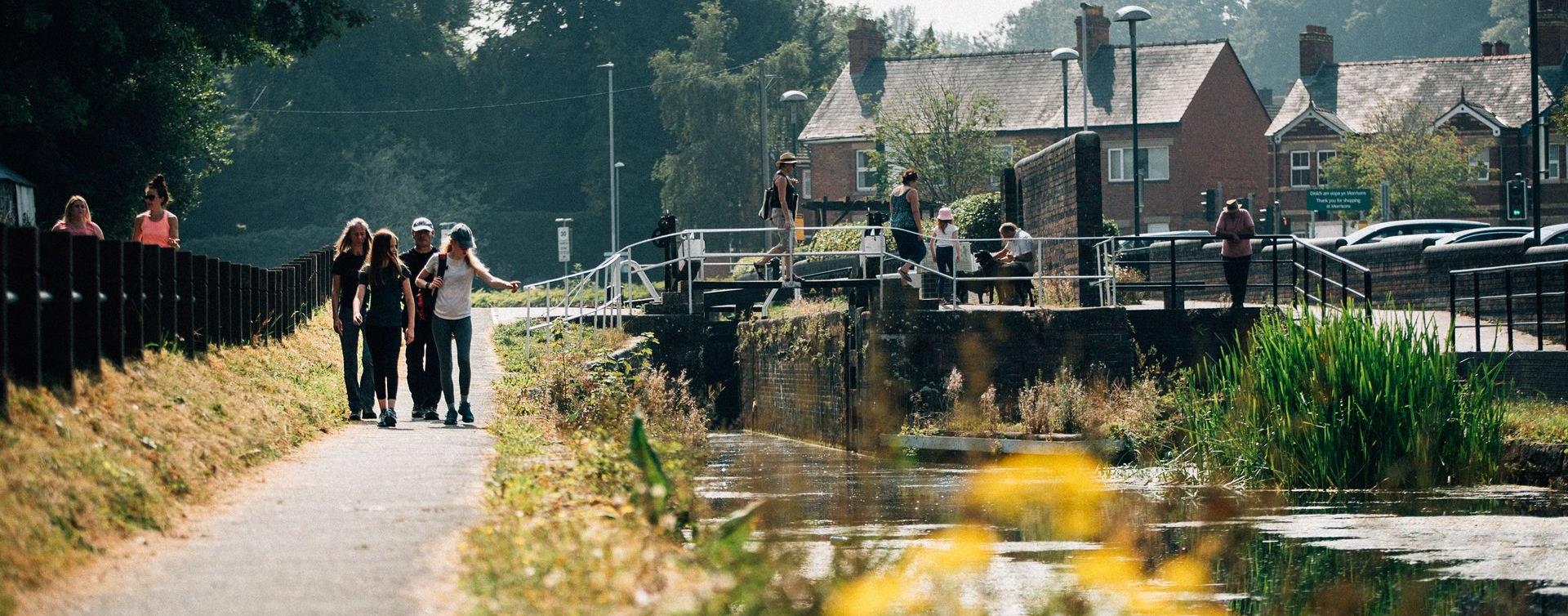
Cardigan - Borth
The Ceredigion Coast section of the Wales Coast Path providers the walker with glimpses of dolphins and porpoise, seals and a host of marine birds throughout the year around the majestic sweep of Cardigan Bay .
Ponterwyd, Aberystwyth
Mid Wales is a serious stop off and venue for people wishing to improve their dirt jump and pump track skills and the Mountain Bike Skills Park at Bwlch Nant yr Arian equips people to more safely enjoy their cycling out on the existing mountain bike…
Powys
This walk is a continuation of the walk to Pen Cerrig-calch. The walk is approximately 8 miles and you need to allow at least 5.5hours if starting from the car park in Crickhowell.
Ceredigion
Cors Caron is a vast wetland near Tregaron. The huge raised peat bogs and surrounding habitats support a wealth of wildlife. Accessible boardwalk over bog to hide, and Sustrans National Cycle route for walkers, cyclists and horse riders.
Lake Vyrnwy
Pont Llogel is a small woodland within the Dyfnant Forest next to the Afon Efyrnwy (River Vyrnwy) and the car park and picnic area is set beside an old stone bridge at the edge of a hamlet. This tranquil area has been designated a SSSI choice of 3…
Powys
There are many ways up and down the Sugar Loaf. This walk starts on the west of this striking and distinctly shaped hill in the small village of Llangenny (240180), just to the east of the bridge over the Grwyne Fawr.
Southern Snowdonia
The walk along the estuary from Barmouth to Dolgellau is 9.6 miles (15km). This easy leisure walk is suitable for all the family and involves no climbing. A section of the trail has been adapted for people with disabilities.
Powys
The Llanllwchaiarn Lollipop Walk starts and finishes at the Town Clock at the intersection of Broad, High and Severn
Streets. The walk is 4.3 miles and should take around 2 hours
Newtown
The starting point for this walk is the Newtown Town Clock in the town centre and unfolds through Newtown's historical tapestry. It is approximately 3.5 miles and should take around 3.5 hours
Newtown
The Brimmon Wood & Kerry walk starts and ends in the centre of Newtown. It is mainly off-road walking with a few short sections on quiet lanes.
Aberhonddu | Brecon
Town Trail walking route around Brecon
Corris
Start: Corris Craft Centre car park
Grid Reference: SH 750 078
Distance: 5 km . 3.1 miles
Shorter option: 2.3 km . 1.4 miles
Grade: Moderate (some steep sections)
Terrain: Tarmac road and firm tracks
Maps: OS Explorer - OL 23
Aberaeron
5th section of the Ceredigion Coastal Path
Total distance 11.9km (7.4 miles)
Aberaeron to Aberarth 3.1km (1.9miles), grade/easy
Aberarth to Llanon 4.8km (3.0 miles), moderate-easy
Llanon to Llanrhystud 4.0km (2.5 miles), grade/easy
Llanfair Clydogau, Lampeter
Coedwig Gymunedol Longwood Community Woodland is a 300 acre site of mixed woodland just north of Lampeter in Ceredigion. The woods are owned and managed by the local community and is as a free facility for walkers, riders and cyclists to enjoy all…
Bala
A circular walk first through the town, over farmland and moorland to Llanycil returning along the lake and through the town with many stiles. The walk passes various locations associated with Betsi Cadwaladr.
Ceredigion
Part of Llandysul Trails - Coed y Foel Woods to Capel Dewi
Start: SN418406 - Car Park, Llandysul
Suitable for: Moderately fit walkers
Grade: Moderate-Strenuous
Distance: 13.1km/8M
Time: 4.5 hours (excluding rest stops)
Old Hall, Near Llanidloes
Choice of walking trails along the River Severn which flows through Hafren Forest. Trails go to waterfalls and the source of the Severn on Pumlumon. Riverside accessible trail with viewing platform over cascades. Picnic area and toilets.

© Visit Mid Wales 2026. All Rights Reserved

