To provide you with the best experience, cookies are used on this site. Learn more

To provide you with the best experience, cookies are used on this site. Learn more




To build your own Itinerary, click  to add an item to your Itinerary basket.
Already saved an Itinerary?



Number of results: 117
, currently showing 22 to 42.
Barmouth
The Dinas Oleu Walk takes you from Barmouth town centre through the steep narrow winding streets of the Old Town and up to the top of the gorse-covered hill, known as Dinas Oleu (Citadel of Light).

Ceredigion
Part of Llandysul Trails - South Clettwr Valley Walk
Start: SN452425 - Car Park, Capel Dewi church hall
Suitable for: Moderately fit walkers
Grade: Easy
Distance: 4.8km/3M
Time: 2 hours (excluding rest stops)
Llandovery
Six miles from Llandovery, this woodland and picnic area is in the peaceful Tywi valley. Glimpse the waterfall on the walking trail or explore the woodland on the accessible trail. Red-graded mountain bike trail for experienced riders.
Welshpool
The Buttington Bridge to Llanymynech section of the Offa's Dyke National Trail starts at Buttington Bridge where you meet the River Severn, from where it is a short walk into Welshpool.
Llanrhystud
6th section of the Ceredigion Coastal Path Llanrhystud to Aberystwyth
Total Distance 17km (10.6 miles) Grade - moderate/hard
Despite being challenging this section of Heritage Coast is dramatic, lonely and extremely worthwhile.
Machynlleth
Start: Near Dovey Valley Shooting Centre
Limited car parking
Grid Reference: SH 806 051
Distance: 10 km – 6.2 miles
Grade: Moderate with some steep sections
Terrain: Fields, rough tracks
Maps: OS Explorer - 215
Southern Snowdonia
The walk along the estuary from Barmouth to Dolgellau is 9.6 miles (15km). This easy leisure walk is suitable for all the family and involves no climbing. A section of the trail has been adapted for people with disabilities.
Trefaldwyn | Montgomery
2.17miles (3.5km) takes about 1.5hours and is a moderate walk with a moderate grade - Download the PDF
Clytha
The Clytha Estate in Monmouthshire is a classic 18th-century landscaped park combining fine architecture, grand sweeping views and tranquil countryside in a timeless atmosphere.
Powys
A 132 mile trail set in the heart of Mid Wales breathtaking countryside, dedicated to the 15c Welsh warrior and self proclaimed Prince Owain Glyndwr
Crickhowell
This walk starts on the west of this striking and distinctly shaped hill in the small village of Llangenny (240180), just to the east of the bridge over the Grwyne Fawr.
Gwynedd
The Dyfi Forest is located mainly to the north of the Afon Dyfi between Dolgellau to the north and Machynlleth to the south. Dyfi is a 6000ha forest - a spectacular landscape well worth exploring.
Ystrad Meurig - Tregaron
The Ystwyth Trail is a 32.1km/20M cycle route and footpath linking Aberystwyth and Tregaron. Part of the trail follows the track of the old Great Western railway line.
Start: Aberystwyth SN584812
Finish: Tregaron SN679597
Near Abergynolwyn
The Mary Jones Walk retraces the route the 15-year-old Mary Jones walked 25 miles from Llanfihangel-y-Pennant, across the Welsh mountains, to Bala to get a Bible from Revd. Thomas Charles.
Newtown
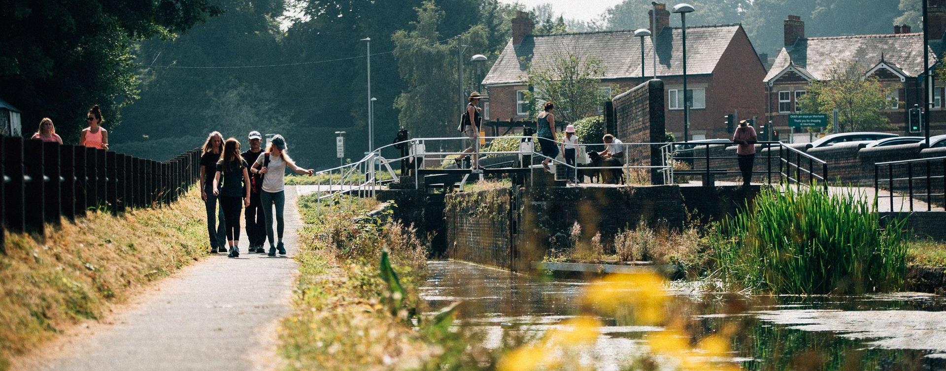
Rated as easy, this is a pub based walk that starts and finishes at the Waggon and Horses in Lower Canal Road, Newtown

Powys
Start: NRW forest car park. Turn R just before Aberllefenni village sign
Grid Reference: SH 769 092
Distance: 7.4 km – 4.6 miles
Grade: Moderate
Terrain: Tarmac road and grassy tracks.
Maps: OS Explorer – OL 23
Aberaeron
5th section of the Ceredigion Coastal Path
Total distance 11.9km (7.4 miles)
Aberaeron to Aberarth 3.1km (1.9miles), grade/easy
Aberarth to Llanon 4.8km (3.0 miles), moderate-easy
Llanon to Llanrhystud 4.0km (2.5 miles), grade/easy
Pantperthog, Machynlleth
Start: Centre for Alternative Technology
(C.A.T) car park
Grid Reference: SH 754 044
Distance: 7.1 km – 4.4 miles
Grade: Moderate (some steep sections)
Terrain: Firm tracks, roads and open grassland
Maps: OS Explorer OL23 or 215
Carmarthenshire
The Cambrian Way is a challenging long distance walk through the most unspoilt countryside in Wales. Walkers will be amazed at the remoteness of the central section route through Mid Wales from the Brecon Beacons to Southern Snowdonia.
Lôn Teifi is part of National Route 82 between Aberystwyth and Fishguard.
Machynlleth
Start: Lay-by Derwenlas
Grid Reference: SN721 991
Distance: 6.2 km - 3.8 miles
Grade: Moderate
Terrain: Firm tracks, open fields, some boggy areas
Maps: OS Explorer OL23

© Visit Mid Wales 2026. All Rights Reserved

