To provide you with the best experience, cookies are used on this site. Learn more

To provide you with the best experience, cookies are used on this site. Learn more

To build your own Itinerary, click  to add an item to your Itinerary basket.
Already saved an Itinerary?


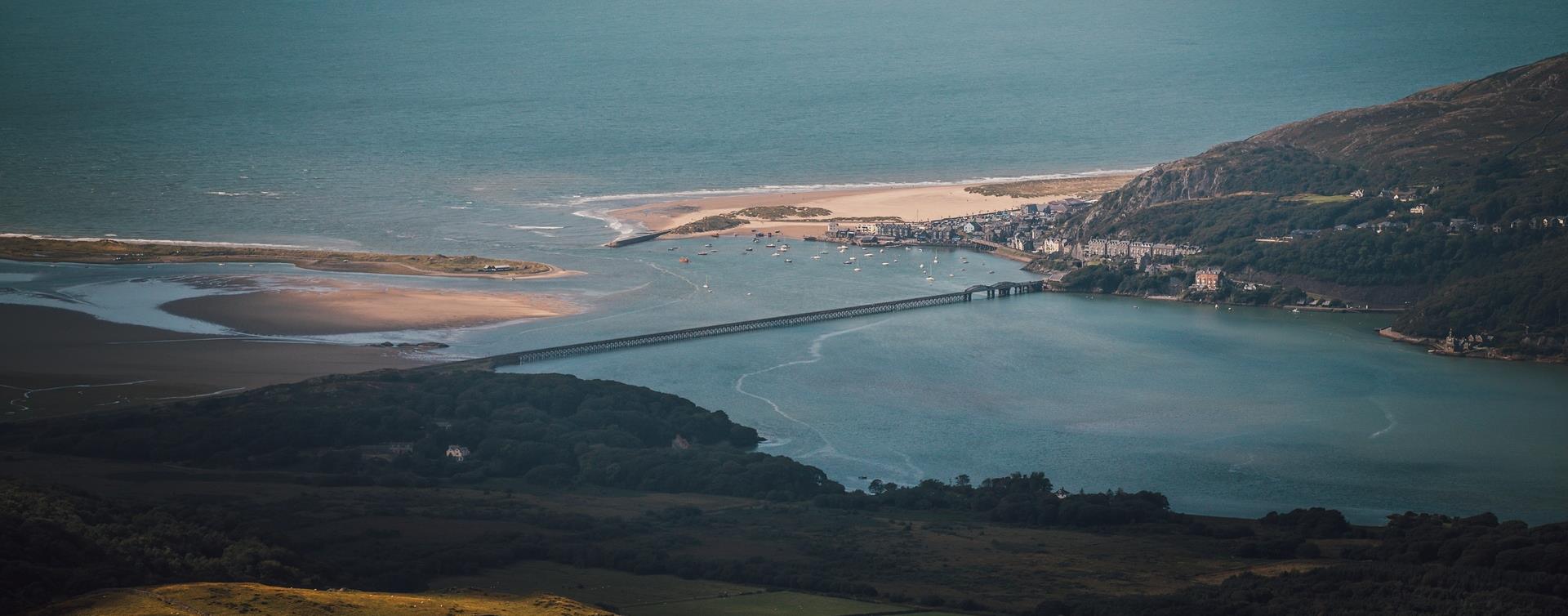
Southern Snowdonia Towns | Places to Stay | See & Do

Number of results: 256
, currently showing 161 to 180.
Llanuwchlyn, Bala
A Day with “Alice the Little Welsh Engine” at Bala Lake Railway is a family-friendly event celebrating the beloved children’s character with steam train rides behind 'Alice'.

Machynlleth
Machynlleth railway station is on the Cambrian Line from Shrewsbury to Aberystwyth. Trains also depart from here for the Cambrian Coast Line to Pwllheli.
Blaenau Ffestiniog
Blaenau Ffestiniog is famously known as the "slate capital of Wales" and the "town that roofed the world". Its industrial role has long since diminished, yet Blaenau Ffestiniog attracts many visitors because of its rich slate history.
Dolgellau
Discover Dolgellau with its rich history and captivating architecture on the Dolgellau Town Trail. Begin and end your journey at Eldon Square in the heart of the town and meander through its irregular streets and admire the solid buildings.
Tywyn
Take a trip up the Fathew Valley in the golden evening sun with the Sunset Specials,


Blaenau Ffestiniog
Blaenau Ffestiniog railway station is the terminus of the Conwy Valley Line from Llandudno Junction; most trains run from/to Llandudno. Trains connect with the North Wales Coast Line. It is also the terminus of the Ffestiniog Railway.
Machynlleth
Start: Lay-by Derwenlas
Grid Reference: SN721 991
Distance: 6.2 km - 3.8 miles
Grade: Moderate
Terrain: Firm tracks, open fields, some boggy areas
Maps: OS Explorer OL23
near Barmouth
The spectacular Morfa Dyffryn Reserve stretches for about 4.5 miles along the coast of Cardigan Bay from Afon Ysgethin in the south to Afon Artro in the north.
Machynlleth
Come and spend the afternoon in the woods, learning how to light a campfire with flints, campfire cooking building dens and other nature based crafts and activities. Suitable for children aged 8-12 years plus their adults!!
Dolgellau
The serene ruins of Cymer Abbey stand in a lovely setting beside the River Mawddach. Particularly impressive are its great windows, arches and an unusual tower. Saif olion heddychlon Abaty Cymer mewn lleoliad hyfryd ger Afon Mawddach.
Bala
The Bala & Penllyn area has a wide range of Walking Trails for everyone – including: all ability, children, heritage, scenic and mountain walks - and all through stunning mountain and lake scenery of southern Snowdonia.
Tywyn
Experience the beauty of a World Heritage Site in our original Victorian-Era Carriages

Llwyngwril
Llwyngwril railway station is on the Cambrian Coast line from Machynlleth to Pwllheli.
Tywyn
Celebrating the life and legacy of the Reverend Wilbert Awdry, creator of Thomas the Tank Engine & Talyllyn Railway Volunteer!
Llwyngwril is a coastal village with a population of around 500. The village falls within the Snowdonia National Park.
Corris
Start: Corris Craft Centre car park
Grid Reference: SH 750 078
Distance: 5 km . 3.1 miles
Shorter option: 2.3 km . 1.4 miles
Grade: Moderate (some steep sections)
Terrain: Tarmac road and firm tracks
Maps: OS Explorer - OL 23
Harlech
Harlech beach is an ideal place for children to play and an even better spot for adults to sit back and relax. The beautiful sand dunes are the reason behind the area’s designation as a National Nature Reserve and Site of Special Scientific Interest.
Fairbourne
Between Dolgellau and Tywyn off the A493, the village of Fairbourne has a sandy beach two miles long on the Cambrian Coast with the superb countryside of the Snowdonia National Park to the east.
Llanbedr
Llanbedr is an attractive village situated between Barmouth and Harlech. It's an ideal location for walking and Shell Island is famous for it's abundance of sea shells.
Southern Snowdonia
The Precipice Walk is one of the famous attractions of Dolgellau. It passes through an interesting variety of habitats which include deciduous woodland, a conifer plantation, meadows, lakeside and sheep-walk.

© Visit Mid Wales 2026. All Rights Reserved

