to add an item to your Itinerary basket.


Book Tickets Online
About
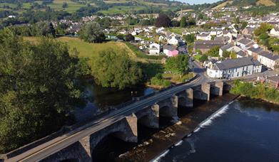
Start Crickhowell Car Park GR219 183
Turn L out of CP and R at mini roundabout. SO to Llanbedr. Turn R at church and down onto track. Straight across at road following stoney path. SO for 2km.
At road go L and immediately fork L. After 1km turn R then 1km and turn R again.
At 5 ways junction go straight across uphill SP no through road.After 0.5km fork L onto rough stone track. After 0.5km go through gate and take lower track alongside fence. Another 0.5km turn L down to gate in wall. SO down to tarmac road. Go R to Upper House. Turn R in yard onto track SP Way to hill. Climb up to open hill and turn L down steep path. SO down to Coed Dias. At junction with phone box turn R.
After 1km turn R over bridge. Turn L pass barrier and climb for 1 km. At junction go SQ. After nearly 4km, just before RH hairpin turn L on to BW.
SO around LH bend and down to road. SO for about 2km and turn R into forest marked no cars or mortorcycles. SO up around 2 hairpin bends, At T-junction turn L slightly downhill.
SO for 1.5km and fork R uphill marked footpath. At forest road go L and follow forest road to end (2km). Go uphill to corner of forest and turn L past boundary stones in direction of trig point. Follow single track path to fence and wall. Follow fence and wall and through gate. Follow BW arrows down to Hen Bant. SO on tarmac road. At second RH bend turn L, SP to Fynnon Wen. Down to junction and turn R. Now return back along the same route you came out on.
Book Tickets
Facilities
Accessibility
- Disabled toilets
Booking & Payment Details
- Cash Point
Catering
- On-site catering
- Picnic site
Property Facilities
- Gift shop
- Postbox
- Public toilets
Routes
- Description of route - Mynydd Du Forest Route 36km
- Length of route (miles) - 22
Target Markets
- Accepts groups
- Coach parties accepted
Map & Directions
Road Directions
A465 or A40 from Abergavenny.
Accessible by Public Transport: Abergavenny station is 7 miles away.