To provide you with the best experience, cookies are used on this site. Learn more

To provide you with the best experience, cookies are used on this site. Learn more




To build your own Itinerary, click  to add an item to your Itinerary basket.
Already saved an Itinerary?


Number of results: 107
, currently showing 64 to 84.
Powys
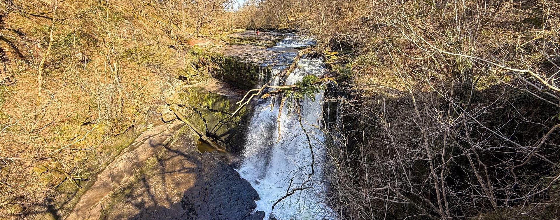
Walk along a gorge to the Water-Break-its-Neck waterfall, a popular destination for Victorian tourists. Explore the woodland and see some of the largest trees in Radnorshire.

Borth
Start: Borth High Street
Grid Reference: SN 608 901
Distance: Walk A: 4.4 km – 2.7 miles
Walk B: 10.7 km – 6.6 miles
Grade: Easy
Terrain: Roads, firm tracks, sand and shingle
Maps: OS Explorer – OL 23 & 213
Machynlleth
Start: NRW forest car park.
Turn R just before Aberllefenni village sign.
Grid Reference: SH 769 092
Distance: 8.4 km - 5.2 miles
Grade: Easy/Moderate
Maps: OS Explorer . OL23
Rhayader
Get off the beaten path and explore everything that Rhayader and the Elan Valley has to offer, from gentle relaxing walks to something to challenging the most experienced climbers.
Knighton - Felindre - Abbeycwmhir - Llanidloes
The 135 m/217km National Trail is a long distance walk which can be enjoyed as a continuous journey, typically taking around nine days, or over a series of weekend or day trips.

Carmarthenshire
The Cambrian Way is a challenging long distance walk through the most unspoilt countryside in Wales. Walkers will be amazed at the remoteness of the central section route through Mid Wales from the Brecon Beacons to Southern Snowdonia.
Aberporth
2nd section of the Ceredigion Coastal Path
Total distance 18.7km 11.7 miles
Cardigan to Gwbert 5.6km (3.5 miles), grade/easy
Gwbert to Mwnt 5.8km (3.6 miles), grade/easy
Mwnt to Aberporth 8km (5 miles), grade/moderate
Nr Devil's Bridge
The old masonry arch spanning the road was built by Thomas Johnes of Hafod in 1810 to mark the Golden Jubilee of George III. Three circular walking trails are waymarked and start from the Hafod Arch car park and The Arch is designated as a Dark…
Powys
The Table Mountain is clearly visible from most places in Crickhowell. It is just to the north of the village on the eastern shoulder of the much larger Pen Cerrig-calch which dominates the northern views. Grid Ref: SO218185
Lake Vyrnwy
Pont Llogel is a small woodland within the Dyfnant Forest next to the Afon Efyrnwy (River Vyrnwy) and the car park and picnic area is set beside an old stone bridge at the edge of a hamlet. This tranquil area has been designated a SSSI choice of 3…
Aberystwyth
If you're looking for a short, yet picturesque walk along the coast, the Wales Coast Path from Aberystwyth to Borth is an ideal option. This 5-mile (8 km) section is a delightful path, albeit with one or two hills to conquer.
Ceredigion
Part of Llandysul Trails - North Clettwr Valley Walk
Start: SN452425 - Car Park, Capel Dewi church hall
Suitable for: Moderately fit walkers
Grade: Easy
Distance: 3.2km/2M
Time: 1 hour (excluding rest stops)
Powys
This walk starts and ends in the centre of Newtown. It is a mixture of road and off -road walking with some sections muddy after heavy rain. It includes lovely views over Newtown and the surrounding hills. This walk is rated as moderate…
Brecon
The Beacons Way walk offers some of the best views the National Park has to offer. If you want to complete the whole 163 km (101 mile) walk it takes eight days, or you can do it one day at a time at your convenience.
Aberdyfi | Aberdovey
Circular walk starting from the popular coastal town of Aberdyfi. Stunning sandy beach, medieval castle site, tales of sunken villages, and far-reaching views of the Dyfi estuary and Cambrian coast are all part of this short but scenic walk.
Aberdyfi
Start: Snowdonia National Park Authority car park, Cwm Maethlon/Happy Valley
Grid Reference: SN 640 986
Distance: 5 km - 3.1 miles (shortcut 4 km – 2.5 miles)
Grade: Moderate
Terrain: Open moorland, firm tracks, fields and tarmac road.
Crossing the border between England and Wales more than ten times in its 293km (182m), the Offa's Dyke Path passes through some of the most attractive landscape.
Ponterwyd, Aberystwyth
Mid Wales is a serious stop off and venue for people wishing to improve their dirt jump and pump track skills and the Mountain Bike Skills Park at Bwlch Nant yr Arian equips people to more safely enjoy their cycling out on the existing mountain bike…
Llanrhystud
6th section of the Ceredigion Coastal Path Llanrhystud to Aberystwyth
Total Distance 17km (10.6 miles) Grade - moderate/hard
Despite being challenging this section of Heritage Coast is dramatic, lonely and extremely worthwhile.
Walk the Severn Way, a long distance footpath tracing the route of Britain's longest river, from its sources to the sea.
Ceredigion
Part of Llandysul Trails - South Clettwr Valley Walk
Start: SN452425 - Car Park, Capel Dewi church hall
Suitable for: Moderately fit walkers
Grade: Easy
Distance: 4.8km/3M
Time: 2 hours (excluding rest stops)

© Visit Mid Wales 2026. All Rights Reserved


