To provide you with the best experience, cookies are used on this site. Learn more

To provide you with the best experience, cookies are used on this site. Learn more

To build your own Itinerary, click  to add an item to your Itinerary basket.
Already saved an Itinerary?


Southern Snowdonia Towns | Places to Stay | See & Do

Number of results: 257
, currently showing 201 to 220.
Machynlleth
Wales’ oldest professional chamber orchestra, The Welsh Chamber Orchestra, presenting a programme of music for strings and percussion, including Elgar’s Serenade for Strings, Mozart’s Serenata Notturna and Samuel Coleridge Taylor’s Four Noveletten.

Llanuwchlyn, Bala
August Steam Gala at Bala Lake Railway will feature all available steam locomotives in action with frequent passenger services, demonstration freight trains and the miniature railway running at Llanuwchllyn.
Gwynedd
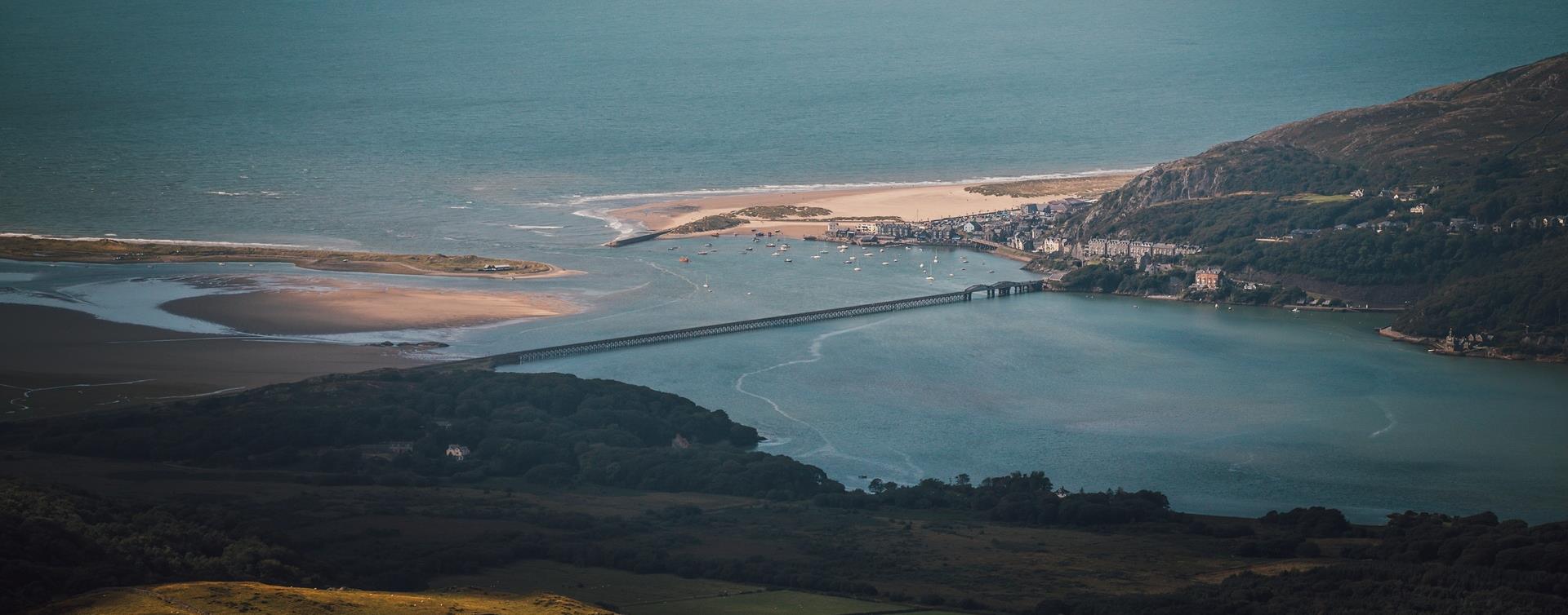
Barmouth is southern Snowdonia’s most popular seaside resort. In summer, its big sandy beach is a magnet for visitors, yet there’s so much space along miles of unbroken sands that it never gets overcrowded.
MACHYNLLETH
Start: Pennal village
Grid Reference: SH 699 004
Distance: 13.2km – 8.3 miles
Grade: Strenuous – A mountain walk, not to be undertaken in poor visibility
Maps: OS Explorer – OL 23
Bala
Enjoy scenic journeys along Bala Lake with grilled food and refreshments at the station — perfect for a summer outing with family or friends.
Bala
Bala & Penllyn is an area within the Eryri (Snowdonia) National Park surrounded by the peaks of Aran Benllyn, Arenig Fawr and the Berwyn Mountains and home to the largest natural lake in Wales,

Fairbourne
Between Dolgellau and Tywyn off the A493, the village of Fairbourne has a sandy beach two miles long on the Cambrian Coast with the superb countryside of the Snowdonia National Park to the east.
Tywyn
Tywyn is a coastal town in Southern Snowdonia on the Mid Wales coast. The name Tywyn comes from the Welsh word for beach or sand dunes.
Tywyn
Take a trip up the Fathew Valley in the golden evening sun with the Sunset Specials,


Dolgellau
A network of paths on the Coed Ganllwyd reserve mean you can choose from circular walks of 100 metres up to more demanding routes that stretch over two kilometres.
Machynlleth
Start: Near Dovey Valley Shooting Centre
Limited car parking
Grid Reference: SH 806 051
Distance: 10 km – 6.2 miles
Grade: Moderate with some steep sections
Terrain: Fields, rough tracks
Maps: OS Explorer - 215
Penrhyndeudraeth
Set against the colourful backdrop of Portmeirion, the Gwyl Portmeirion Festival 2026 promises a summer of music and celebration. Marking the village’s 100th anniversary, the event brings together renowned artists and Welsh talent for a unique…
Tywyn
Discover the Story of the Preservation Pioneers on The Railway Adventurer
Tywyn
The Dolgoch Falls are a series of three waterfalls near Tywyn in Southern Snowdonia. Access is by woodland walk signposted from the nearby Tal-y-llyn Railway- Dolgoch Station
Machynlleth
Start: Ceinws village
Grid Reference: SH760 059
Distance: 11.3 km – 7 miles (additional 0.7km - 0.4 miles to Llanwrin)
Grade: Moderate / Strenuous
Terrain: Firm tracks, open fields
Maps: OS Explorer 215
Gwynedd
Neolithic tomb comprising two chambers of different phases, originally covered by a stone cairn.
Barmouth
Dyffryn (Llanendwyn) is a long sandy beach backed by an extensive sand dune system between Shell Island and Dyffryn Ardudwy.
Porthmadog
Minffordd railway station is on the Cambrian Coast Line from Machynlleth to Pwllheli.
Gwynedd
Morfa Harlech is one of two extensive sand dune systems which make up much of the southern Snowdonia coastline, extending from the Mawddach estuary in the south to Black Rock Sands in the north west.
Harlech
Harlech is a historic town on the Snowdonia coast which has fantastic beaches, Royal St David's - one of Wales' finest golf courses and Harlech Castle which a World heritage site.

© Visit Mid Wales 2026. All Rights Reserved

