to add an item to your Itinerary basket.


Book Tickets Online
About
Discover the Wonder of Machynlleth: The Medieval Market Town with an Alternative Edge!
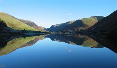
Located in the heart of the UNESCO Dyfi Biosphere, Machynlleth is a unique and historic town that boasts a rich cultural heritage and breathtaking natural scenery. This fascinating town has recently been designated as one of only two UNESCO Biosphere Reserve sites in the UK, in recognition of its outstanding natural beauty and ecological diversity.
Explore the Centre for Alternative Technology
For eco-conscious travelers, the Centre for Alternative Technology is a must-visit destination. This educational resource and fun day out is extremely popular amongst visitors and has been hugely proactive in promoting ecological technology and lobbying for environmental policy both in the UK and internationally.
Discover Other Fascinating Attractions
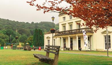
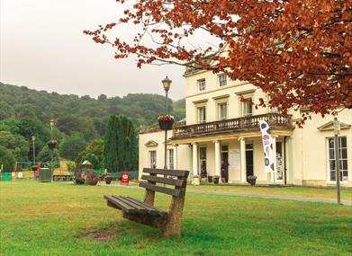
But that's not all that Machynlleth has to offer. Other attractions include King Arthur's Labyrinth, Corris Mine Explorers, and the Museum of Modern Art Wales, which houses a superb permanent collection. The Tabernacle buildings provide a venue for numerous festivals, including the Machynlleth Comedy Festival.
Explore the Rich Local History and Culture
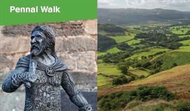
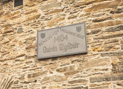
Machynlleth's rich history is evident in the number of interesting buildings, monuments and traditions that can be found throughout the town. One of the earliest written references to Machynlleth is the Royal Charter of 1291, granted by Edward I to Owen de la Pole the Lord of Powys. The weekly Wednesday market and biannual fair date back to this charter, which allowed Machynlleth to hold a market every Wednesday and two fairs a year.
For music lovers, Machynlleth has played an important role in the history of rock and roll. Led Zeppelin's Robert Plant has owned property here since he was a boy and penned the iconic 'Stairway to Heaven' as well as many more songs in Bron-Yr-Aur cottage just outside Machynlleth.
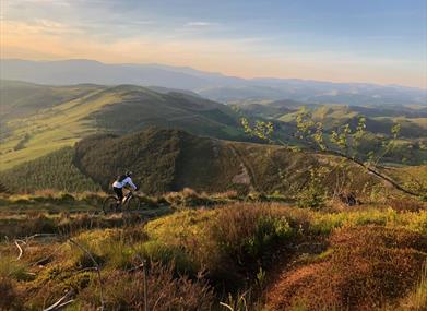
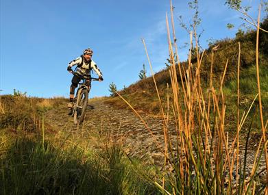
Enjoy Exciting Outdoor Activities
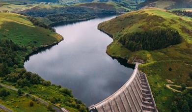
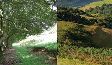
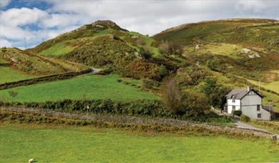
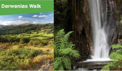
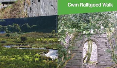
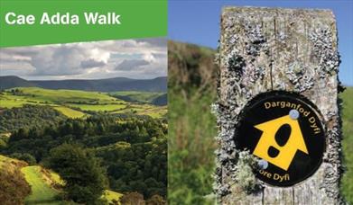
Machynlleth is an ideal base for exploring the surrounding countryside, which includes the Glyndwr's Way National Trail Route and the Wales Coast Path. The area offers numerous walking trails, including the Dovey Valley Shooting Ground. For mountain bikers, the Mach 1, 2, 3 routes offer great off-road cycling options starting from Machynlleth and venturing into the Plynlimon mountains. The Climach-X trail in the southern section of the Dyfi forest, 4.6 miles north of Machynlleth near the village of Ceinws on the A487 is also worth checking out.
Indulge in Local Delights
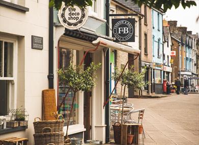
For those who love shopping, Machynlleth has plenty of independent shops offering local crafts, galleries, and cosy cafes to stop for a paned (cuppa). Foodies will appreciate the town's biannual fair, which has been held since 1291 and remains hugely popular to this day.
So, whether you're looking to explore natural beauty, delve into local history and culture, or simply relax and unwind in a charming town, Machynlleth is a must-visit destination for first-time travelers.
Facilities
Parking
- Free Parking
- Parking with charge - Pay & Display Car Park: Maengwyn St SY20 8DY - long stay.
Map & Directions
Road Directions
The town of Machynlleth is situated on the main A487 and A489 roads.
There is on-street parking on the main high street as well as a car park located close to the town centre.
Public Transport Directions
By Bus . Bus:T12, T2, X28
Br Train : The station is to the north of the town