to add an item to your Itinerary basket.


Book Tickets Online
About
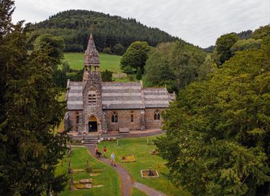
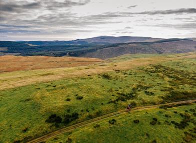
Glyndwr's Way is an 135 mile (217 Km) long National Trail through that takes you to some of the finest landscape features in Mid Wales including the tranquil Radnorshire Hills, the shores of the Clywedog Reservoir near Llanidloes and heather clad Pumlumon, which is the highest peak in the Cambrian Mountains.
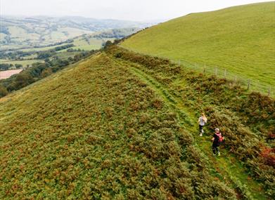
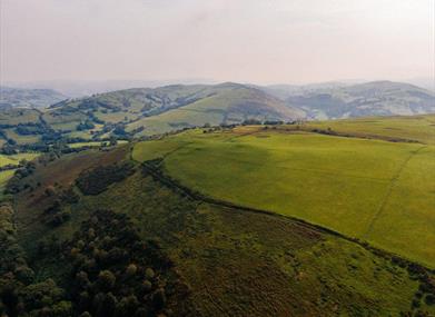
There are spectacular views over Cadair Idris, Lake Vyrnwy, the Cambrian Mountains and Y Golfa. The route reaches its highest point at Foel Fadian (1530ft/510m) from which on a clear day views stretch out to Machynlleth in the heart of the UNESCO Dyfi Bioshere and the Cardigan Bay Coast.
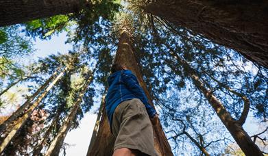
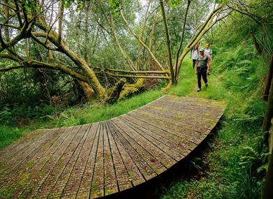
This Trail takes you through a real farming landscape. One of the major attractions of the Trail is the joy of walking through a working land, there is nothing artificial about this landscape.To walk the entire trail usually takes around 9 days to complete however you can enjoy Glyndwr's Way as a series of day walks. Approximately 60% of Glyndwr's Way is available for cyclists & horse riders
Anyone who is reasonably fit can walk the Glyndwr's Way, although it is very hilly, often dropping into valleys and ascending hills several times in a day. You should be aware that it crosses country that is sometimes rough and remote. The ability to navigate by compass will be very welcome if it is misty.
The Trail starts at the Town Clock in Knighton on the Welsh / English border and ends at the Montgomery canal in Welshpool. This is the way most people walk it. The Offa's Dyke Path National Trail connects Welshpool and Knighton and offers a circular option for those wishing to complete the Trail as a continuous walk.
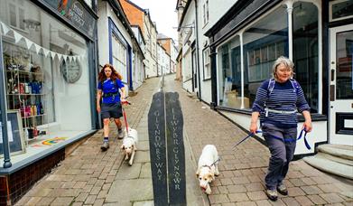
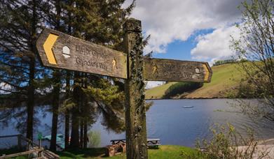
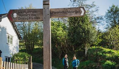
As a National Trail, the Glyndwr's Way is well signed throughout its length. You will see a distinctive acorn symbol on stiles, gates and signposts. This is the symbol used by all the English and Welsh National Trails. In addition you will see a dragon, which is the logo for the Glyndwr's Way.
Symbols on the Trail or on connecting paths, indicate whether the route can be used by vehicles, horse riders, cyclists or walkers.
Book Tickets
Facilities
Routes
- Countryside
- Length of route (miles) - 135 mile (217 Km)
- Long Distance Path
Target Markets
- Dark Skies / Stargazing
Map & Directions
Road Directions
132 mile National Trail starting at Knighton
The nearest railway station is Knighton, which is 0 miles away.