To provide you with the best experience, cookies are used on this site. Learn more

To provide you with the best experience, cookies are used on this site. Learn more




To build your own Itinerary, click  to add an item to your Itinerary basket.
Already saved an Itinerary?


Number of results: 107
, currently showing 22 to 42.
Aberporth
2nd section of the Ceredigion Coastal Path
Total distance 18.7km 11.7 miles
Cardigan to Gwbert 5.6km (3.5 miles), grade/easy
Gwbert to Mwnt 5.8km (3.6 miles), grade/easy
Mwnt to Aberporth 8km (5 miles), grade/moderate


Carmarthenshire
The Cambrian Way is a challenging long distance walk through the most unspoilt countryside in Wales. Walkers will be amazed at the remoteness of the central section route through Mid Wales from the Brecon Beacons to Southern Snowdonia.
Corris
Start: Corris Craft Centre car park
Grid Reference: SH 750 078
Distance: 5 km . 3.1 miles
Shorter option: 2.3 km . 1.4 miles
Grade: Moderate (some steep sections)
Terrain: Tarmac road and firm tracks
Maps: OS Explorer - OL 23
Talybont
Start: Tal-y-bont village green
Grid Reference: SN654 891
Distance: Walk A: 10.5 km – 6.5 miles
Walk B: 9.8 km – 6.1 miles
Grade: Moderate
Terrain: Tarmac road, firm tracks, fields and woodland. Can be muddy in places
Brecon
The Beacons Way walk offers some of the best views the National Park has to offer. If you want to complete the whole 163 km (101 mile) walk it takes eight days, or you can do it one day at a time at your convenience.
New Quay - Aberaeron
New Quay to Aberaeron is a popular section of the Wales Coast Path that presents no major challenges. The walk is a distance 10.5km (6.5miles)
Ceredigion
Part of Llandysul Trails - South Clettwr Valley Walk
Start: SN452425 - Car Park, Capel Dewi church hall
Suitable for: Moderately fit walkers
Grade: Easy
Distance: 4.8km/3M
Time: 2 hours (excluding rest stops)
Ceredigion
Part of Llandysul Trails - Llandysul Town Historic Walk
Start/Finish: SN418406 - Car Park, Llandysul
Suitable for: All walkers
Grade: Easy
Distance: 1.1km/1.8M
Time: 1 hour (excluding rest stops)
Y Drenewydd | Newtown
This 2.5 circular mile walk starts in the centre of Newtown and largely circles around the western boundaries of Newtown. It will take you along the River Severn and has some road and off-road walking.
Powys
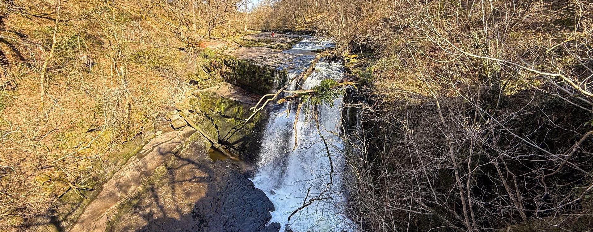
Walk along a gorge to the Water-Break-its-Neck waterfall, a popular destination for Victorian tourists. Explore the woodland and see some of the largest trees in Radnorshire.
Lake Vyrnwy
Pont Llogel is a small woodland within the Dyfnant Forest next to the Afon Efyrnwy (River Vyrnwy) and the car park and picnic area is set beside an old stone bridge at the edge of a hamlet. This tranquil area has been designated a SSSI choice of 3…
Ceredigion
Part of 'Spirit of the Miners' Walks
Open fields, steep woodland trails, 3 river crossings
Start/Finish: SN738767 - Devils Bridge
Suitable for: Moderately fit walkers
Grade: Moderate
Distance: 110K/6M
Time: 3hrs
Machynlleth
Start: Near Dovey Valley Shooting Centre
Limited car parking
Grid Reference: SH 806 051
Distance: 10 km – 6.2 miles
Grade: Moderate with some steep sections
Terrain: Fields, rough tracks
Maps: OS Explorer - 215
Machynlleth
Start: Village car park, Cwrt
Grid Reference:SH 688 000
Distance: 4.8 km – 3 miles (with extension 6.6 km - 4 miles)
Grade: Moderate (extension energetic)
Terrain: Tarmac road, firm tracks, fields and woodland
Maps: OS Explorer - OL 23
Aberdyfi | Aberdovey
Circular walk starting from the popular coastal town of Aberdyfi. Stunning sandy beach, medieval castle site, tales of sunken villages, and far-reaching views of the Dyfi estuary and Cambrian coast are all part of this short but scenic walk.
Ceredigion
This section of the Wales Coast Path is a section of two distinct halves with Aberystwyth to Borth being a challenging yet popular section of Ceredigion Coast while the section between Borth and Ynys-las is completely flat, with much of it running…
Llanwddyn
A spectacular 15 mile walk passing by Lake Vyrnwy, and leading to Britain's oldest Romanesque shrine at the ancient church of Pennant Melangell.
Aberdyfi
Start: Snowdonia National Park Authority car park, Cwm Maethlon/Happy Valley
Grid Reference: SN 640 986
Distance: 5 km - 3.1 miles (shortcut 4 km – 2.5 miles)
Grade: Moderate
Terrain: Open moorland, firm tracks, fields and tarmac road.
Brecon
THE EPYNT WAY is a 65 km long distance path around the circumference of the Sennybridge Training Area. It is open to walkers, equestrians and mountain bikers. The trail is well marked with frequent, yellow-topped marker posts which have green and…
Dolgellau
Three walking trails are waymarked and start from Coed y Brenin Visitor Centre car park.
More walking trails start from our other car parks within Coed y Brenin Forest Park.
Ceredigion
Start: Tal-y-bont village green
Grid Reference: SN 654 891
Distance: 3.1 km – 1.9 miles
Grade: Easy/moderate
Terrain: Tarmac road and grassy tracks. Can be muddy
Maps: OS Explorer – 213

© Visit Mid Wales 2026. All Rights Reserved


