to add an item to your Itinerary basket.


Book Tickets Online
About
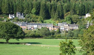
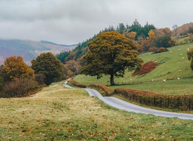
The Llwybrau Cerdded - Mawddwy - Walking Paths are based in Dinas Mawddwy, an unspoilt, hidden area of southern Snowdonia between Machynlleth and Dolgellau which is steeped in history.
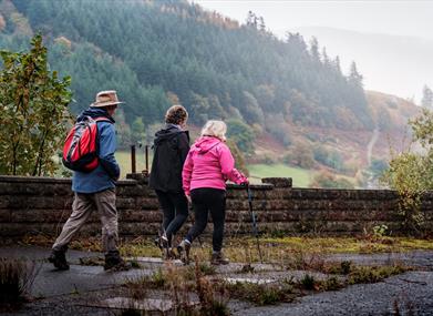
The paths comprise eight, waymarked, circular walking routes, ranging from one-and-a-half to 12 miles, covering a total distance of 46 miles.
This area has the second highest road in Wales, which takes travellers over the famous Bwlch y Groes pass between Dinas Mawddwy and Llanuwchllyn. It’s also where the infamous Red Bandits - y Gwylliaid Cochion - roamed in the 16th century.
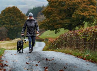
The walking routes take in spectacular mountains, deep valleys, waterfalls, footbridges, moor and grazing land where farmers have carved a living for generations and magnificent views.
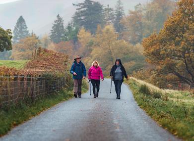
Five of the routes start and finish in Dinas Mawddwy, while the others finish in Llanymawddwy, Mallwyd and Aberangell. All the walks follow public rights of way and are suitable for reasonably fit people.
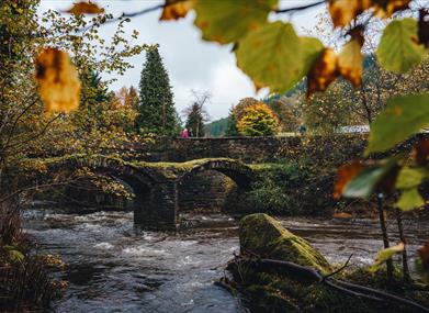
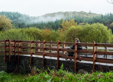
Sites of interest along the routes include St Tydecho churches in Mallwyd and Llanymawddwy, Pont Minllyn Bridge, Melin Meirion Mill, Buckley Arms and Llew Coch / Red Lion, the medieval Ffynnon Cae Gwyn Well, Y Plas (mansion) bell, slate quarries in Dinas Mawddwy, former drovers’ accommodation at Foty Fach ruin, Afon Clywedog, Dolobran Mill and Cerist, to name but a few.
The Afon Fawddwy Circular Walk is a strenuous 7.5 mile/12km walk that takes around 5hrs. At 905m Aran Fawddwy is the tallest mountain in the area, taller even than the more well-known Cader Idris. This walk is not to be underestimated, and a map and compass and the skills to use them are essential, especially if the weather is anything less than perfect. There are many boggy sections and care should be taken on the planked sections which are now showing their age.
The start and finish point is the head of the stunning valley of Cwm Cywarch – ‘Valley of Hemp’ – once a popular local crop. The hillsides around Aran Fawddwy are peppered with the remains of small mines of lead, iron, copper and manganese. Gold was extensively mined just a few miles North of here.
Book Tickets
Facilities
Routes
- Countryside