to add an item to your Itinerary basket.


Book Tickets Online
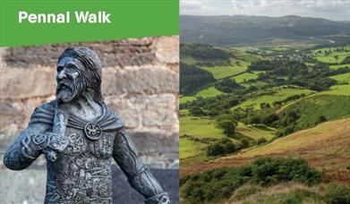
About
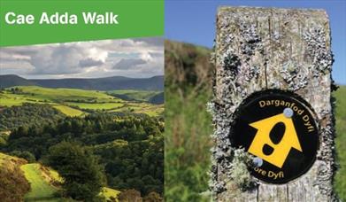
Start: NRW forest car park.
Turn R just before Aberllefenni village sign.
Grid Reference: SH 769 092
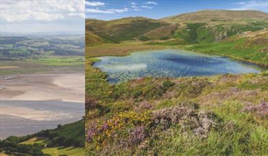
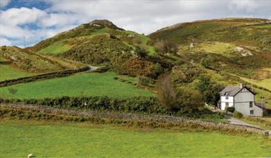
Distance: 8.4 km - 5.2 miles
Terrain: Tarmac road, firm tracks & woodland. Some sections may be muddy/overgrown
Grade: Easy/Moderate
Maps: OS Explorer . OL23
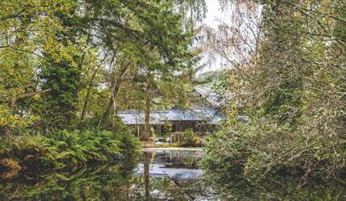
Refreshments: Nearest facilities: Corris Craft Centre, Corris Institute Cafe, Corris Railway Museum, Braich Goch bunkhouse, Slaters Arms pub, and T. Te Cadair visitor centre, Tal-y-llyn.
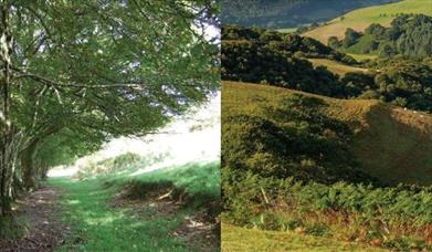
1. From the car park walk back up to the road, and follow it R through Aberllefenni. Fork R around a pond A and head uphill, ignoring the turning on your immediate R. Continue along this road disregarding a waymarked path to the L. After a LH bend where the road starts to descend next to a house, fork L along a forestry track into the woodland.
2. At the track junction fork R across a small bridge and go through two Gs, ignoring the turning on the R, and carry on with the river on the L to go through a G ignoring any turnings on the L B. Go through a G to pass the ruins of an old chapel and quarry cottages C, take the L fork and head towards an old quarry building D. The path skirts numerous old ruins E and
continues through a G next to ‘Plas Ralltgoed’ F and on through another G. At a waymarker post next to a large tree turn L and head towards the corner of the field, passing solar panels on the R, to go through a small black G. Head down a steep wooded bank past Dolgoed G.
3. Turn L at the track to cross a small FB and L through a kissing G. Keep L with the fence to
cross a small slate FB H and turn L on to the farm track up towards the forest, through a
kissing G, and continue. At a track junction, turn L to follow track back down through the trees to go through another kissing G. Continue along the track until you reach the bridge you crossed earlier at 2. Take the R fork uphill into the woods.
4. At a junction turn L along a track, later down through a G and on until you reach the road.
Turn R, and retrace your route around the pond and back to the car park.
Book Tickets
Facilities
Booking & Payment Details
- Cash Point
Catering
- Picnic site
Parking
- EV Charging
Property Facilities
- Gift shop
- Public toilets
Routes
- Description of route - Easy/Moderate
- Length of route (miles) - 5
Target Markets
- Accepts groups
- Coach parties accepted
Map & Directions
Road Directions
The town of Machynlleth is situated on the main A487 and A489 roads.
There is on-street parking on the main high street as well as a car park located close to the town centre. It is also served by the train station which is located to the north of the town.
Accessible by Public Transport: Machynlleth station is 0 miles away.