to add an item to your Itinerary basket.


Book Tickets Online
About
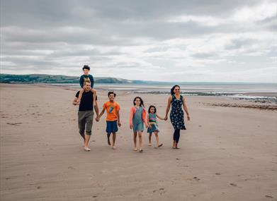
Distance: Walk A: 4.4 km – 2.7 miles | Walk B: 10.7 km – 6.6 miles
Grade: Easy
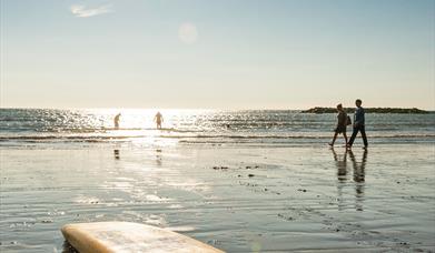
Terrain: Roads, firm tracks, sand and shingle
Grid Reference: SN 608 901 | Maps: OS Explorer – OL 23 & 213
Refreshments: Cafes, restaurants, pubs and shops at Borth
1. Start from the public toilets on Borth high street A walk south for a short distance to a footpath way marker and sign for St Matthews Church. Go down a small side street on L, following the tarmac track until you reach a railway crossing. Go through pedestrian Gs to carefully cross the railway line. On along the tarmac track until you reach a car park on L in front of church. Turn L here through a small wooden G in the RH corner of the car park and follow a grassy path with the field boundary on your R to reach a small FB. Cross the bridge and follow the path until you reach a G leading up onto an embankment.
2. Turn L through a G to follow grassy track along the embankment B for some time to go through a second G. Notice a sign for the Dyfi/Aberleri Nature Reserve on your L and a white painted marker post at the track junction. At this point select route A or B.
3. Walk A – At the track junction turn L and follow the grassy track to a railway crossing. Cross carefully and follow path across the golf course (ALERT – golf balls!) towards the main road. Cross, through G and up on to the concrete embankment and then down on to the beach.
4 Turn L along the beach until you see the flag poles on Borth seafront. Turn L up on to the embankment and back to the start.
Walk B - Continue along the embankment.
5 Go through a kissing G. Cross the FB which runs parallel with the railway line. Follow the path through two metal Gs until you reach another kissing G at the road. Turn L and carefully cross the railway line. On along the road over a bridge, and take the first turning on R, to follow a track past Ynyslas boatyard. Continue on this route until you reach the end of the track C. You will see a National Nature Reserve sign here. Walk ahead with mud flats on R towards the sand dunes, passing road end.
6. When you reach the information board at the edge of the dunes, you can either walk through the dunes DE by turning L to follow a path and board walk by the interpretation centre or alternatively you can walk around the dunes along the beach. If you decide to walk through the dunes, you will need to turn L when you emerge back on to the beach.
7 Continue walking along the beach FG for some distance until you reach 4 above.
Note: If the tide is in, then you will have to walk along the shingle.
Book Tickets
Facilities
Property Facilities
- Public toilets
Routes
- Coastal
- Easy Route
- Length of route (miles) - 6.6
Map & Directions
Road Directions
Borth is off the A487 between Aberystwyth and Machynlleth
Public Transport Directions
Borth Railway Station is on the Cambrian Line